Storm Chase Details
Miles Logged: 574
States Chased: TX
Tornadoes Witnessed: 1
Largest Hail Encountered: 1.5 inches
Highest Wind Encountered: 70 MPH
Severe Risks: SPC Outlooks
Severe Reports: Storm Reports
Pre-chase
A day with an almost perfect forecast, yet again. My target was south of Wichita falls, perhaps the Graham/Newcastle area. We ended up seeing a tornado near the town of Gordon, Texas.

Departure
We left Norman at a decent hour and got down to a heck of a storm by Lawton. It was obviously elevated, which was a bummer because the updraft was very stout and the lightning show was decent. Everyone snapped a few photos before we continued south towards Texas. A pit stop in Archer City for Allsups burritos and we were back on the road south to a storm. The storm was down near Breckenridge and would become a beast. Road options were limited, so we had go to Newcastle. From there, we headed east to Graham and then SW out of Graham towards Breckenridge.
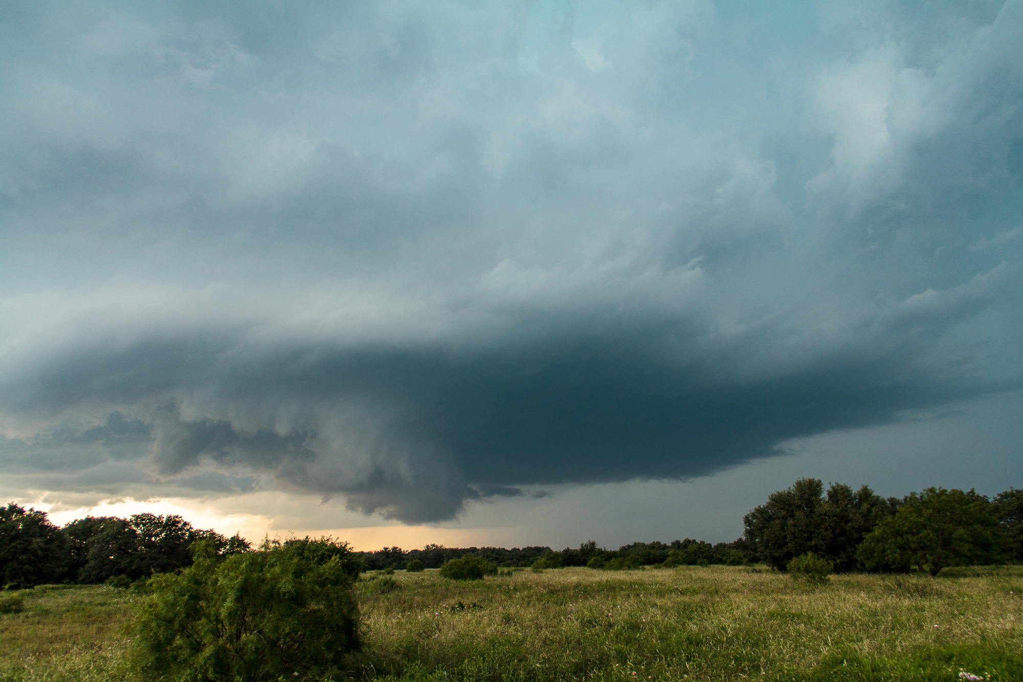
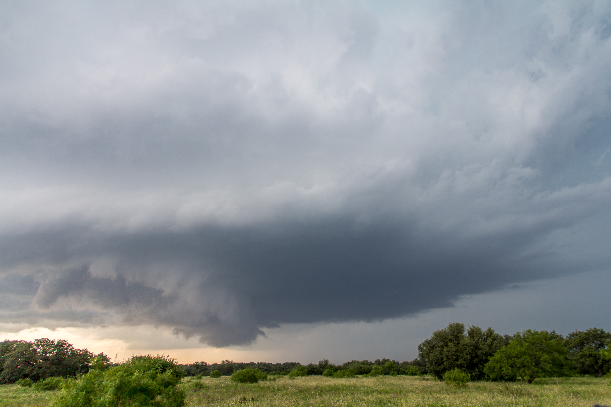
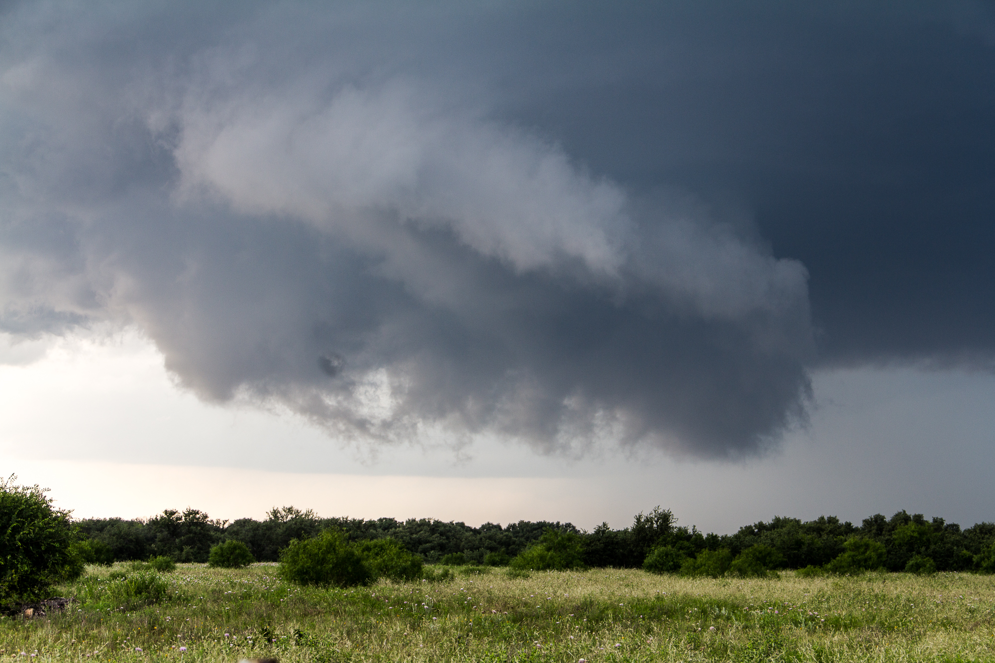
Wall Clouds near Graham
We setup right along TX67 and watched the storm produce many wall clouds and funnels but not fully produce. This was unfortunate as we were in a great position for intercept if it had produced.
It continued east and even had a downtick of intensity as it interacted with storms to it’s west before strengthening again and turning more to the southeast near Possum Kingdom Lake.
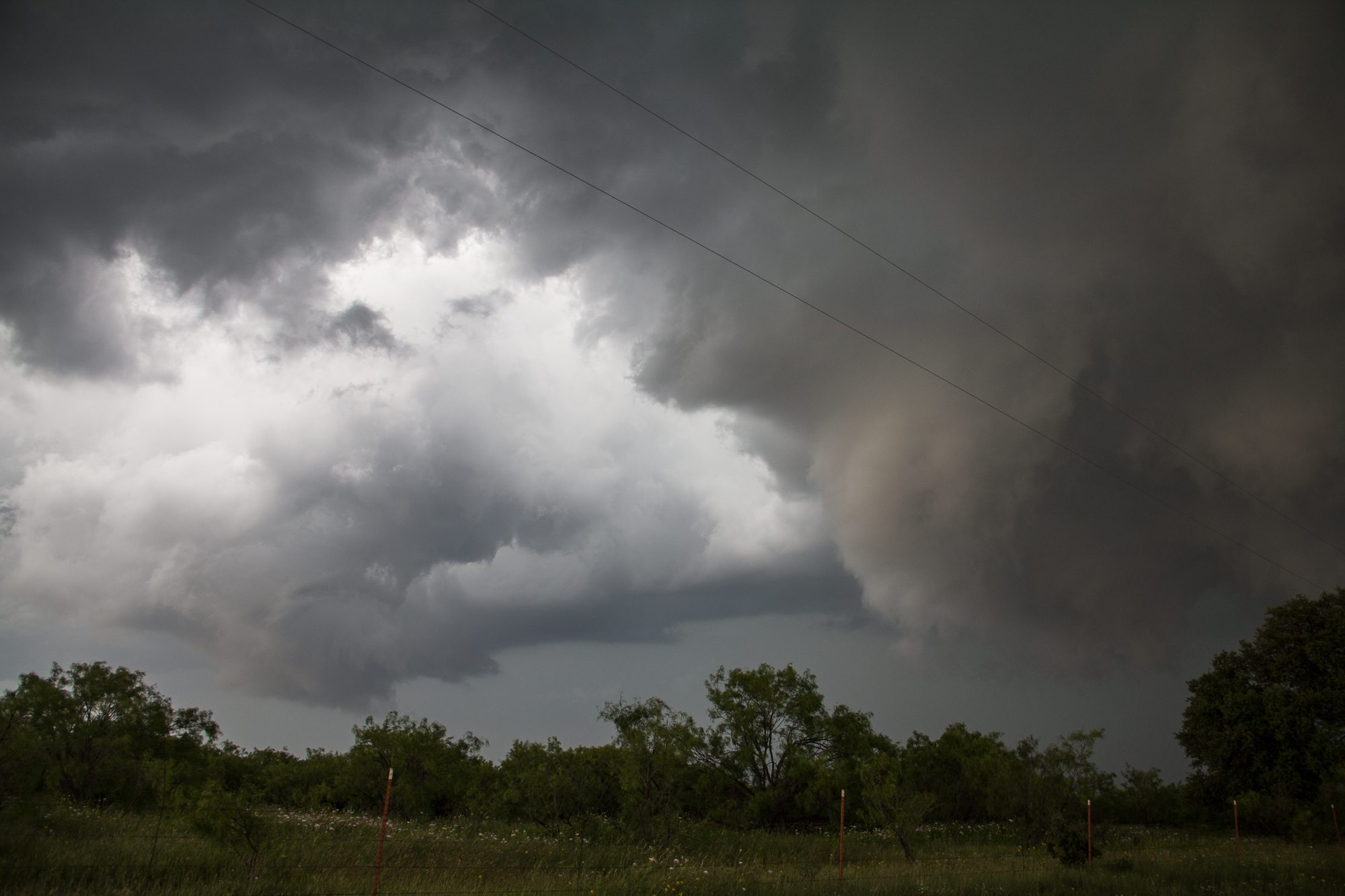
We witnessed a funnel which was later confirmed to be a tornado as we were heading south on FM3253 towards Caddo.
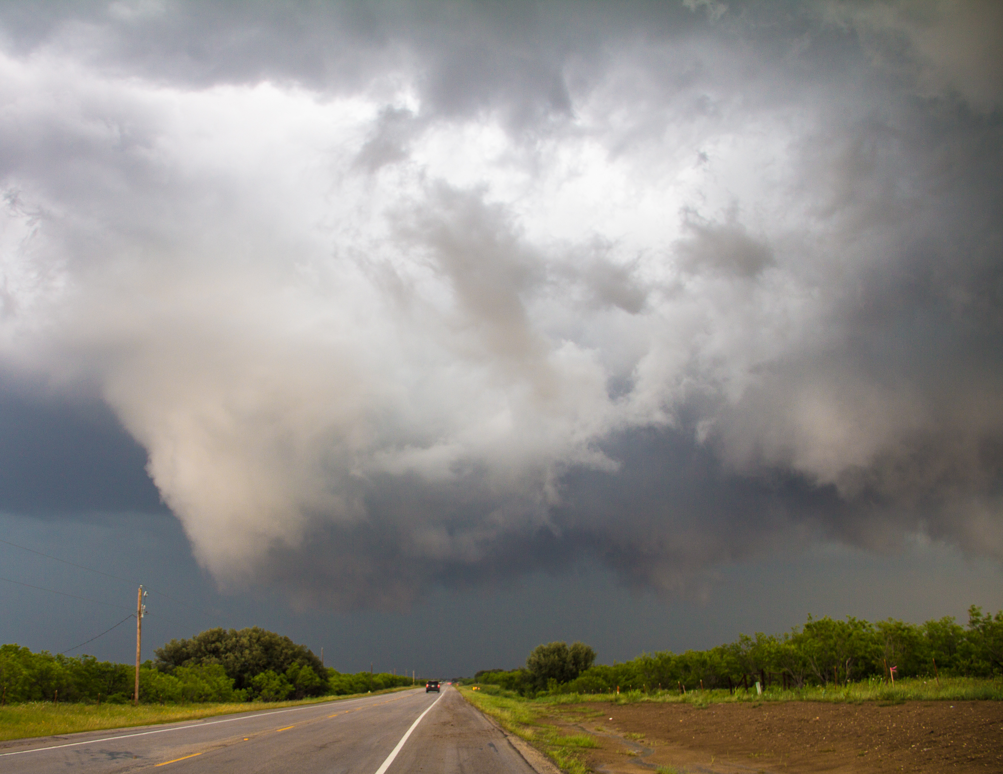
The road network sucked, so we head to drop south to US180 and head east before we headed NE out of Brad on TX16 to get right into the hook as this storm had morphed into an HP beast.
We believe we may have seen another tornado develop as the mesocyclone occluded to our west, but it was hard to tell.
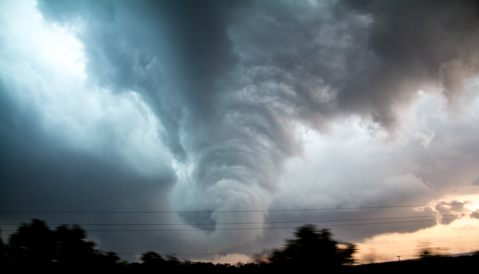
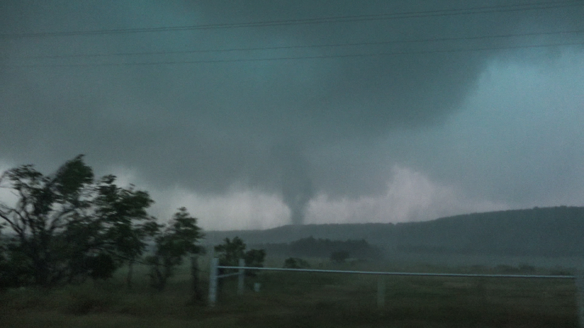
Gordon Texas Tornado
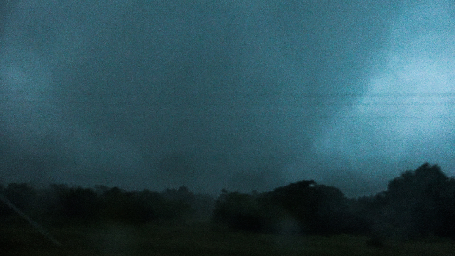
We headed back to US180 and then east through Metcalf Gap and were going to head south on 16 when we realized the new circulation was just to our east and rotating rapidly. While I’m not thinking it actually touched down, we ended up getting east of it and dropping south on FM919 where terrain was quite poor and visibility was limited. We came into the bears cage of yet another circulation as it seems like this storm was rapidly occluding mesocyclones at this point as it was cycling or going through some strengthening phase.
We ended up very close to a tornado north of Gordon, TX with tornadic vorticies in the field just to our east and a strong RFD. The tornado grew into a big cone as we bailed south of Gordon out of the bears cage. Unfortunately the RFD had kicked up quite high and trees were falling over in our way and tree debris was flying through the air.
Time for BBQ
As we kept dropping south, we ended up on 281. The current storm seemed to become outflow dominant at this point. The next storm was better organized on radar. Unfortunately, it was quite the distance west and it was nearing sunset. We opted to head to Stephenville and get some BBQ. The Hard Eight in Stephenville is highly recommended.
There was a strong circulation to the north of Stephenville on radar as we concluded dinner. It was time to head back north, so we went up and met the storm. We stayed out of the circulation as we didn’t want to drive into any rain-wrapped night time tornadoes.
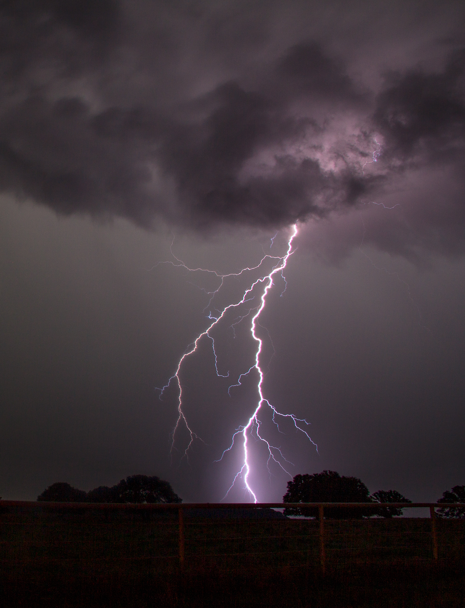
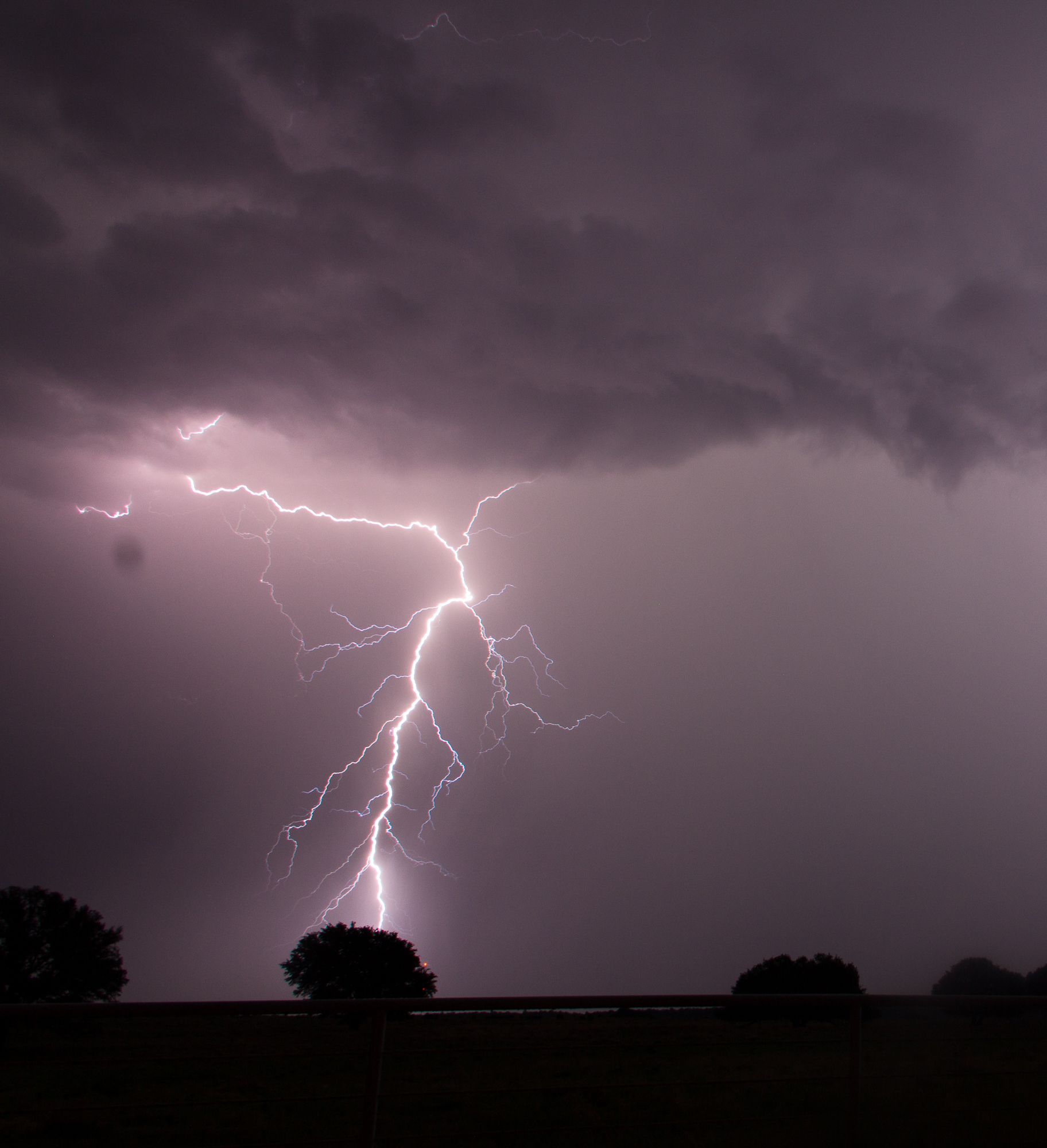
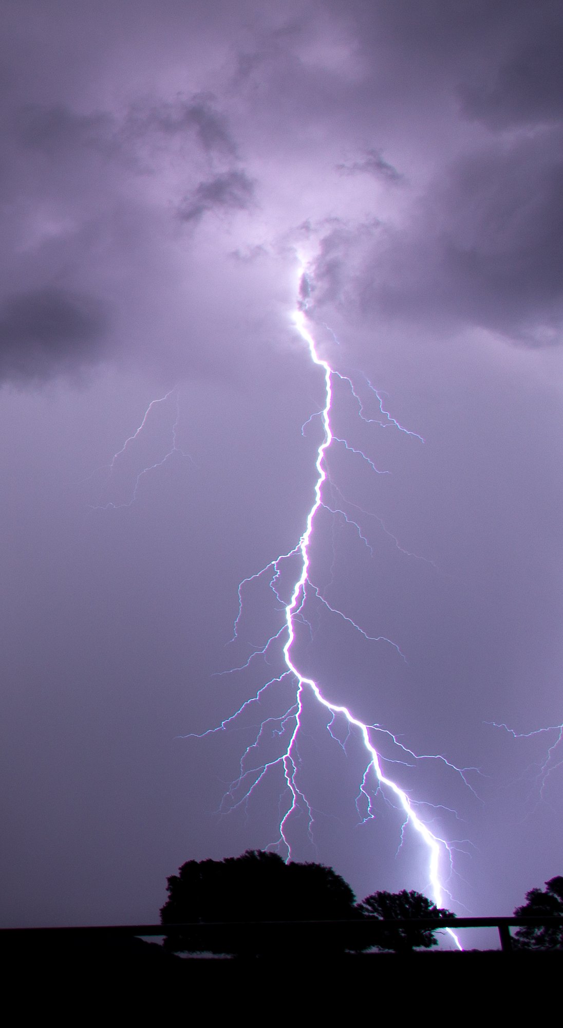
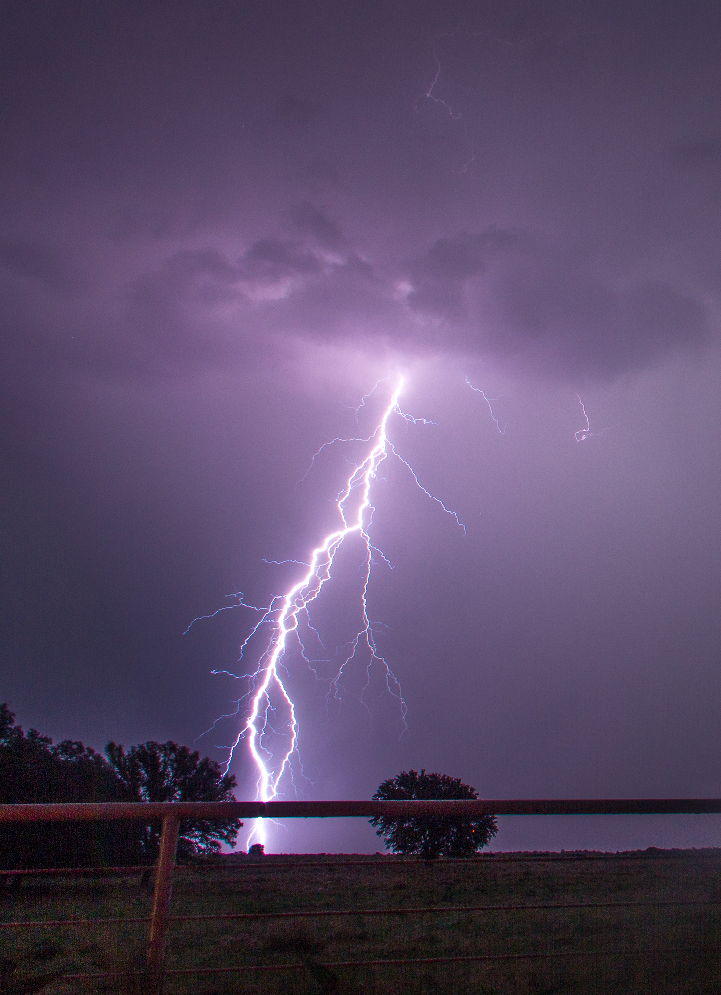
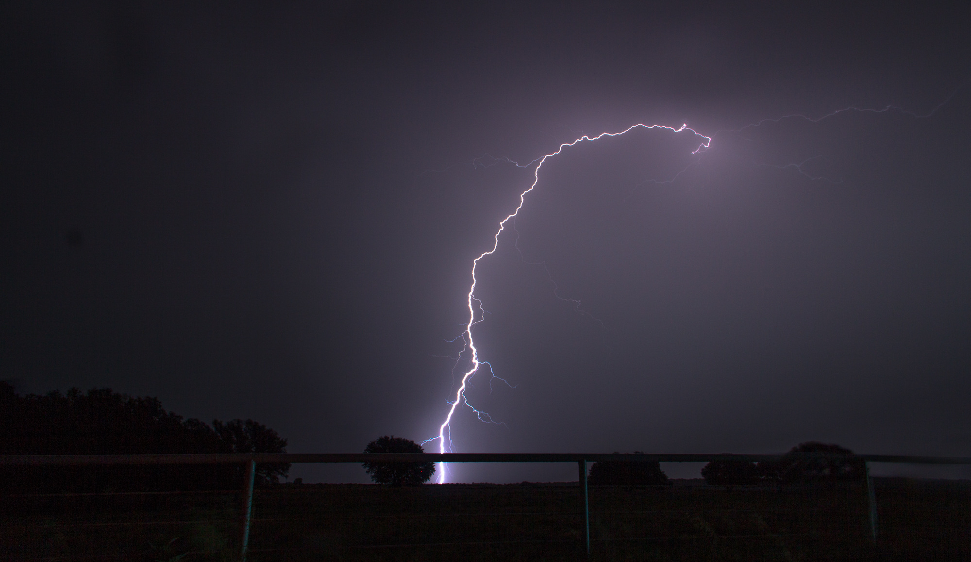
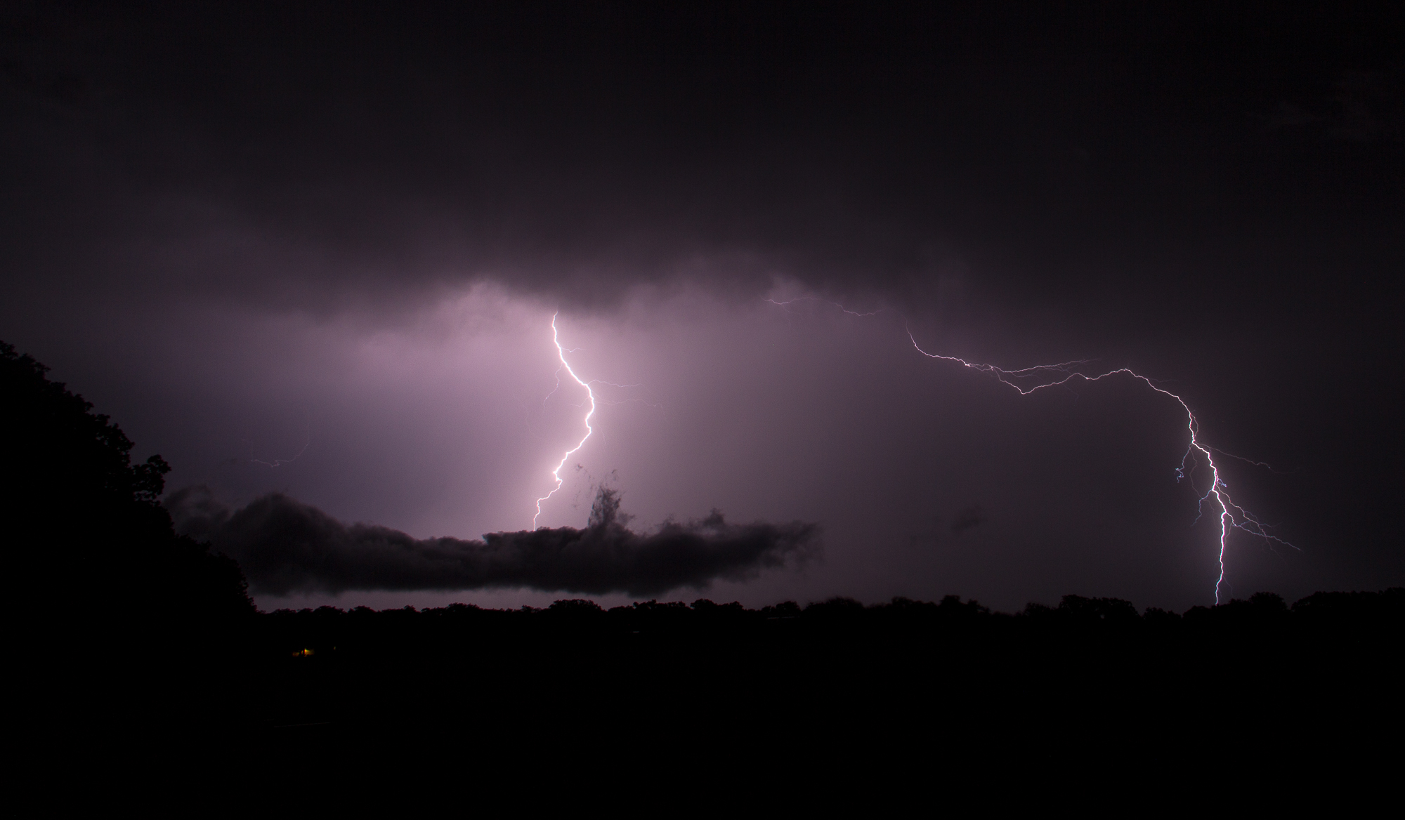
Lightning Photo Opportunities
We got north of I-20 and stopped for awhile for lightning photos before heading to the Childress Hampton Inn for the night.