Storm Chase Details
Miles Logged: 438
States Chased: KS, OK
Severe Risks: SPC Outlooks
Severe Reports: Storm Reports
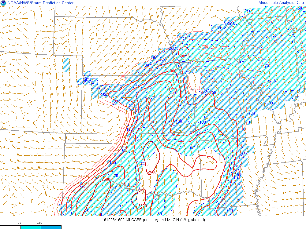
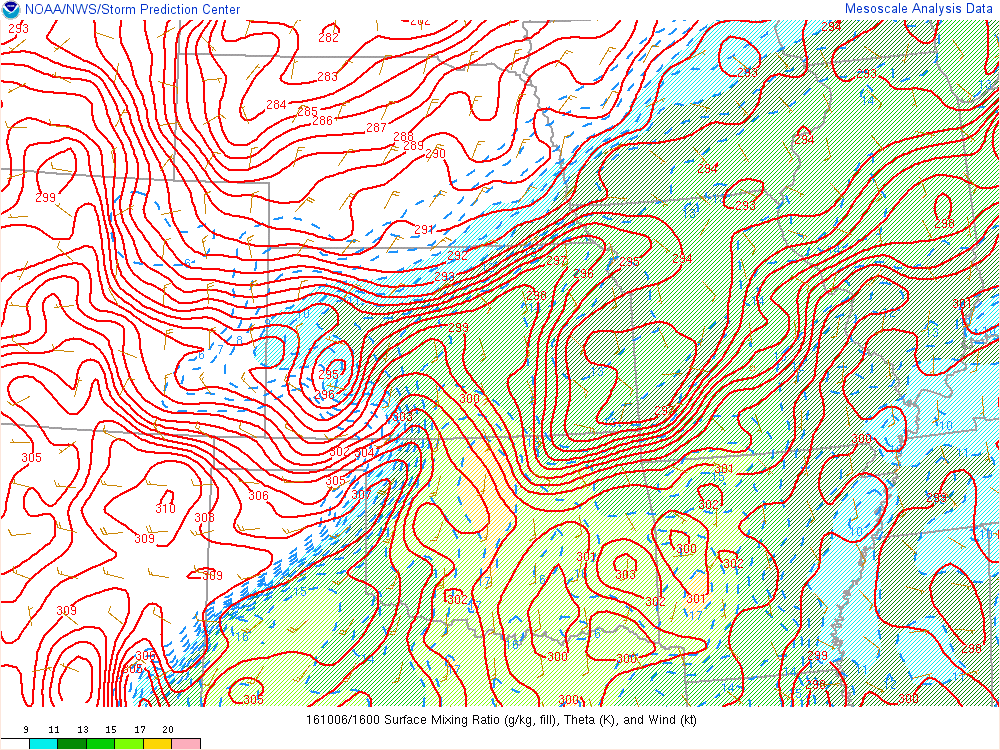
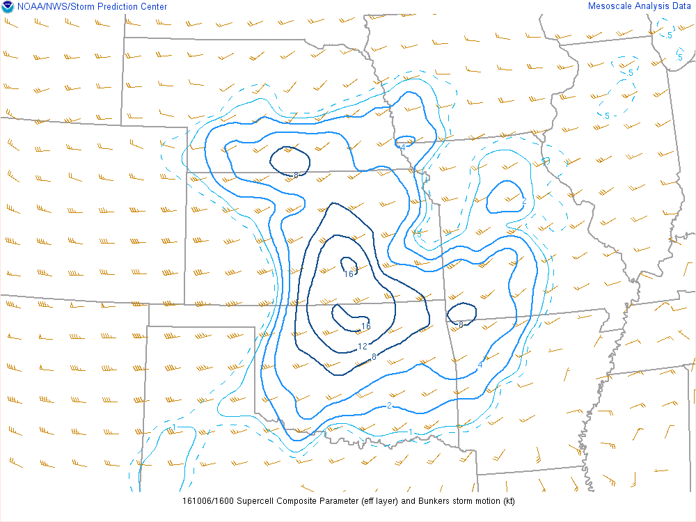
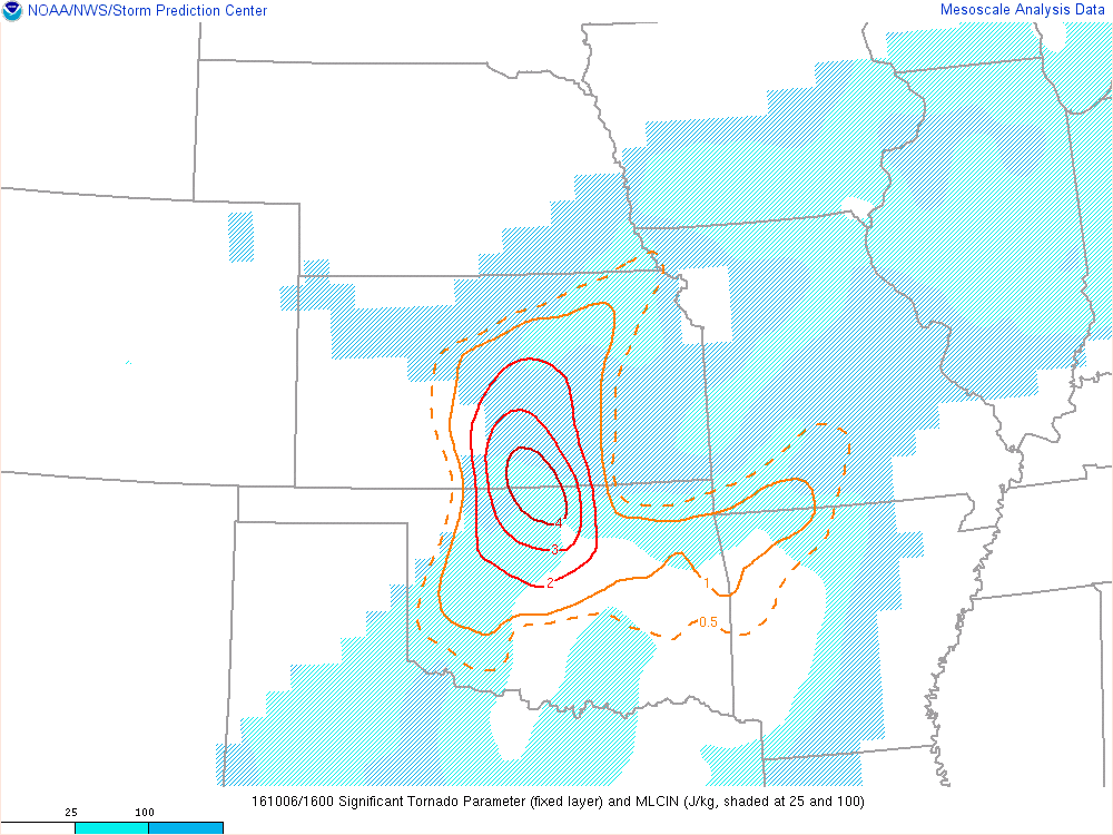
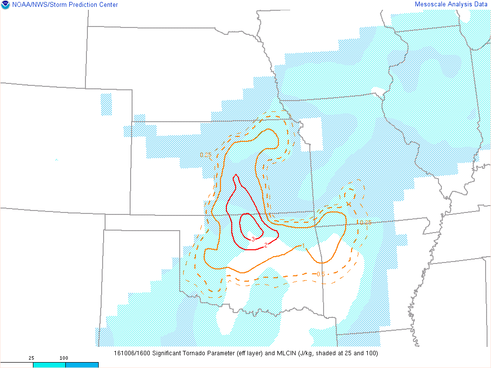
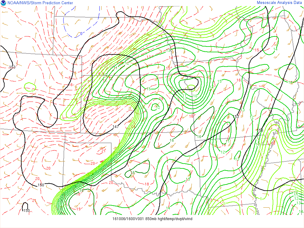
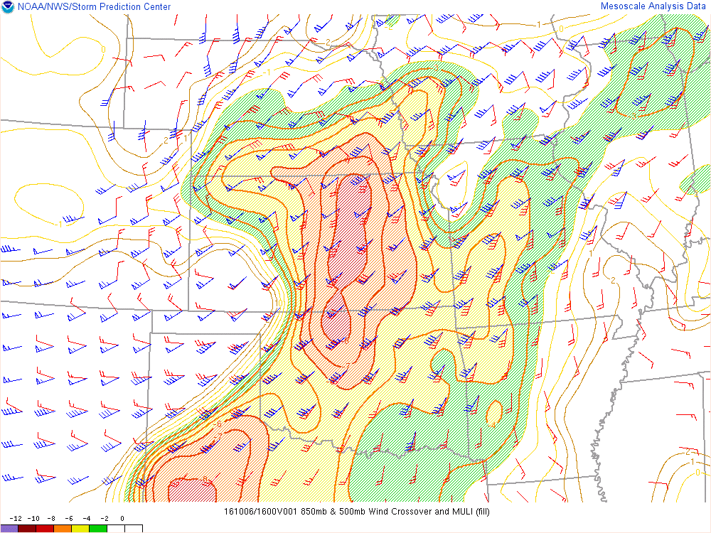
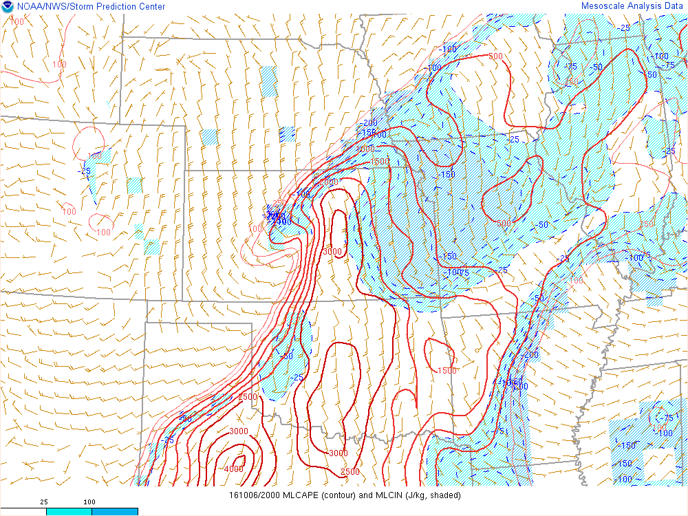
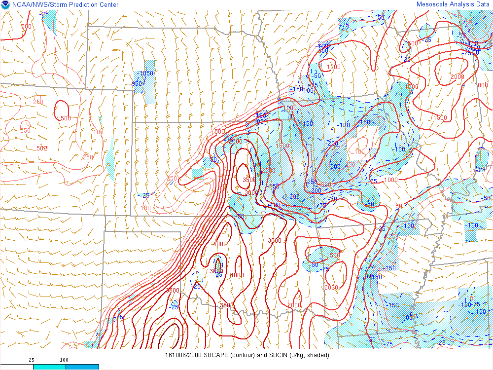
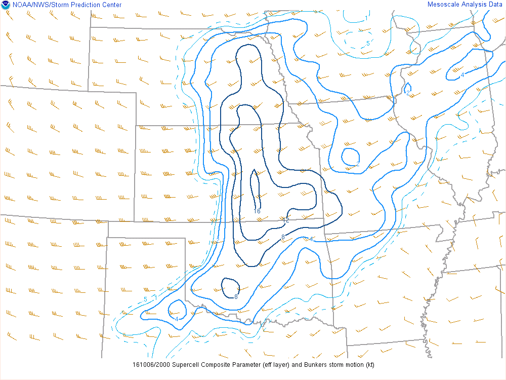
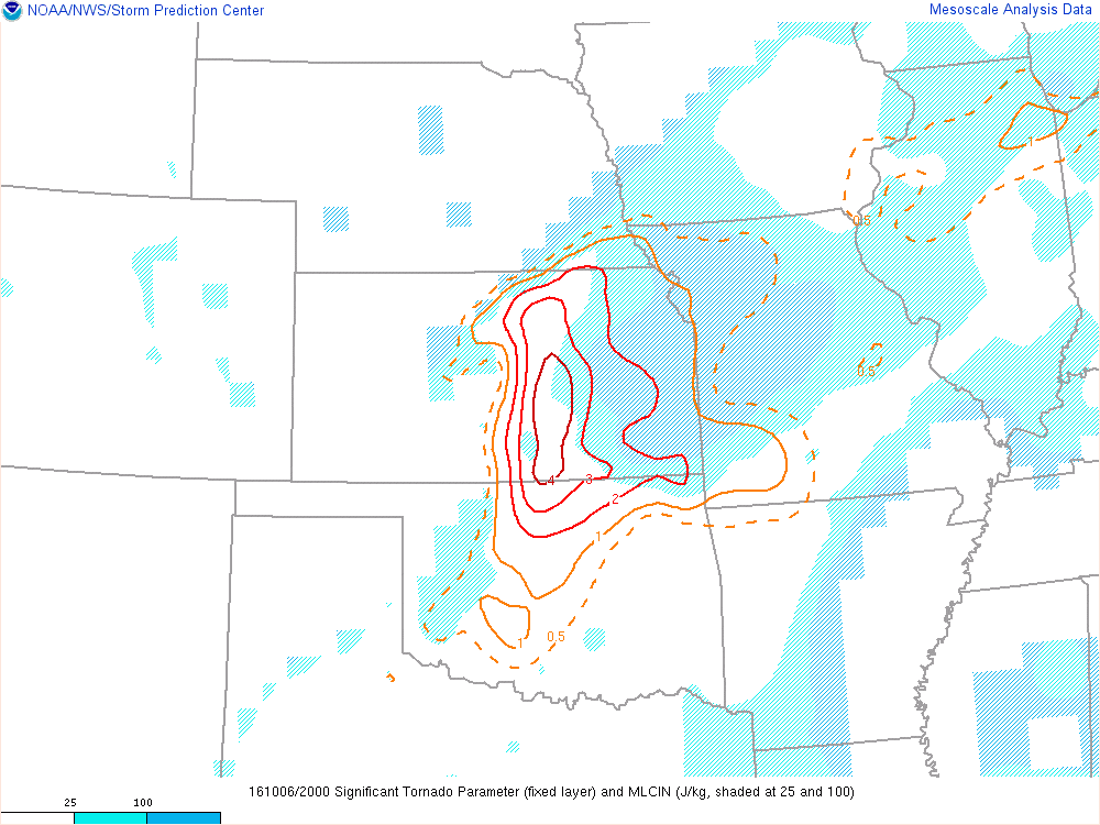
This was definitely a sleeper day, but by 10am it seemed like ingredients were coming into place for a possible significant tornado day. Dewpoints were well into the 70s in Oklahoma and even into Kansas, with good moisture depth on 12Z soundings. 0-1 SRH was showing near 250 over southern Kansas with effective shear of 55-60 knots. MLCAPE was showing almost 3000 J/KG. A nice outflow boundary had been spit out from morning convection.

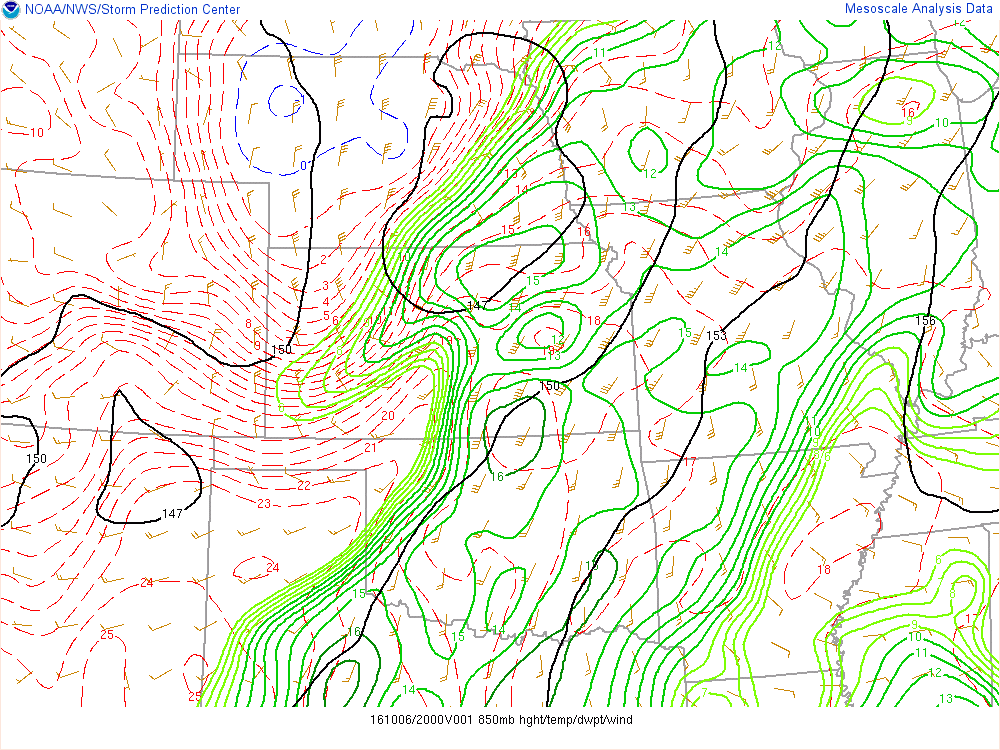
16Z SPC Mesoanalysis
Jason and I left Norman around 2 with a storm already up in our target area, sadly. Wasn’t what we were expecting, but we rushed north, stopping once for gas quickly and then onto the storms near Burden, KS at that time, before dropping back to the supercell to our west just north of Arkansas City.
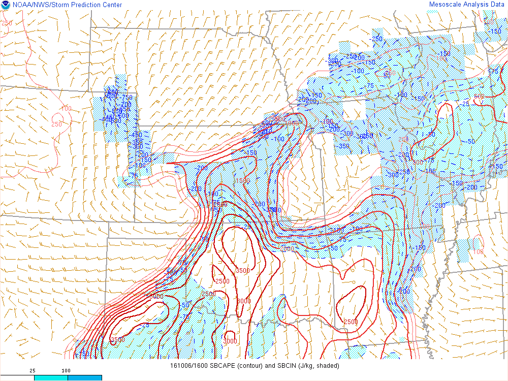
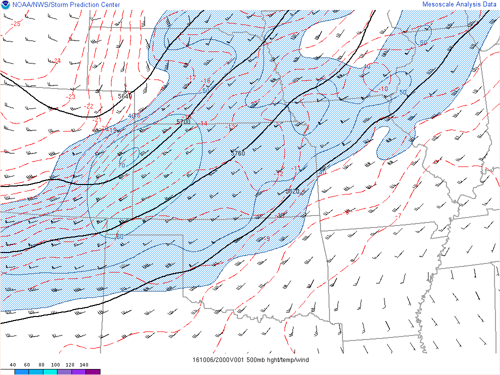
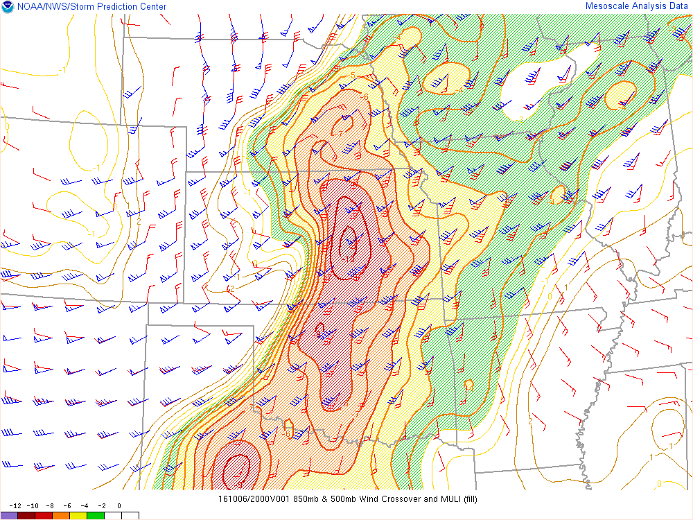
20Z SPC Mesoanalysis
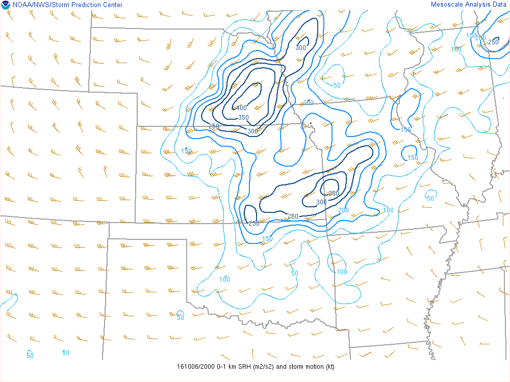
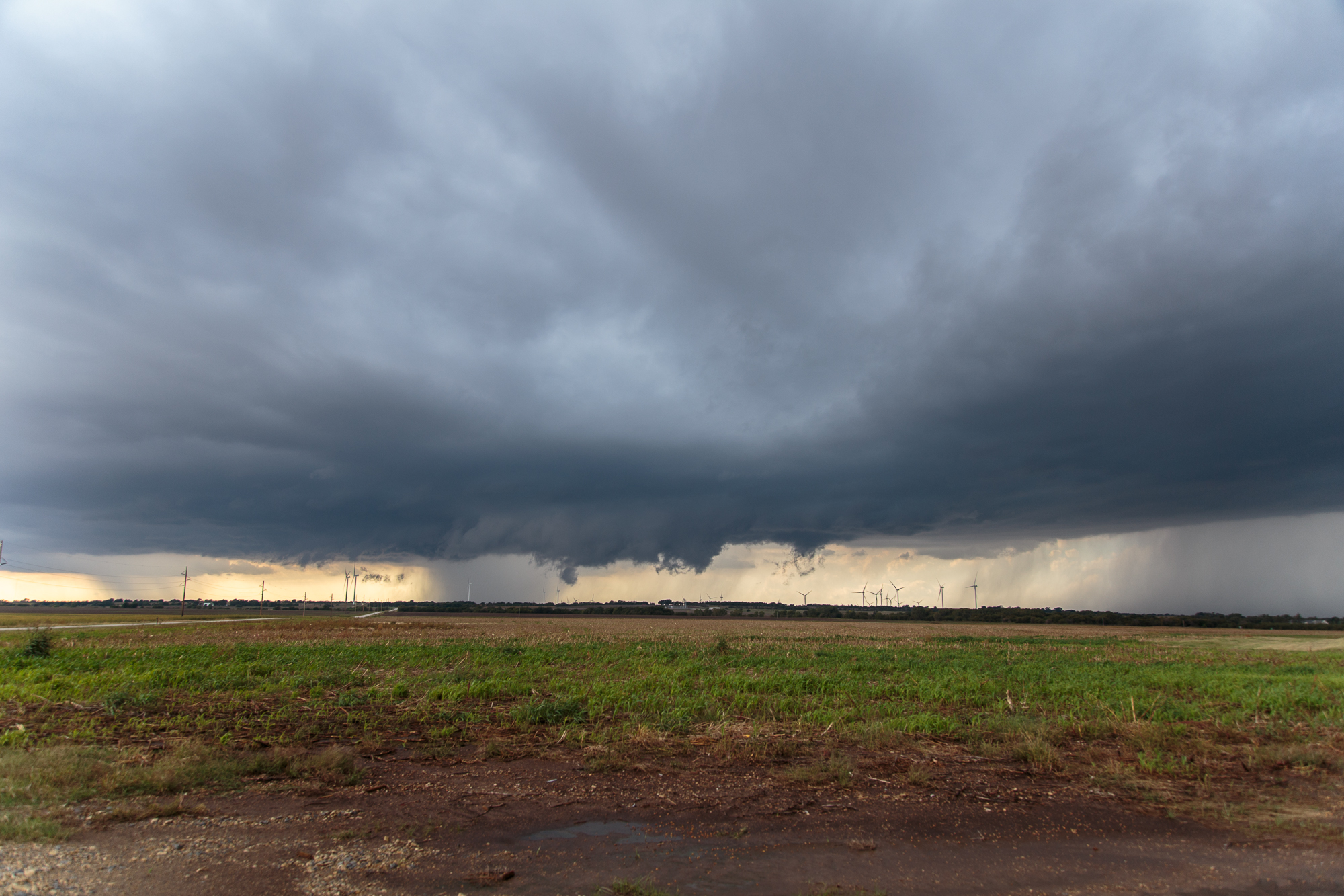
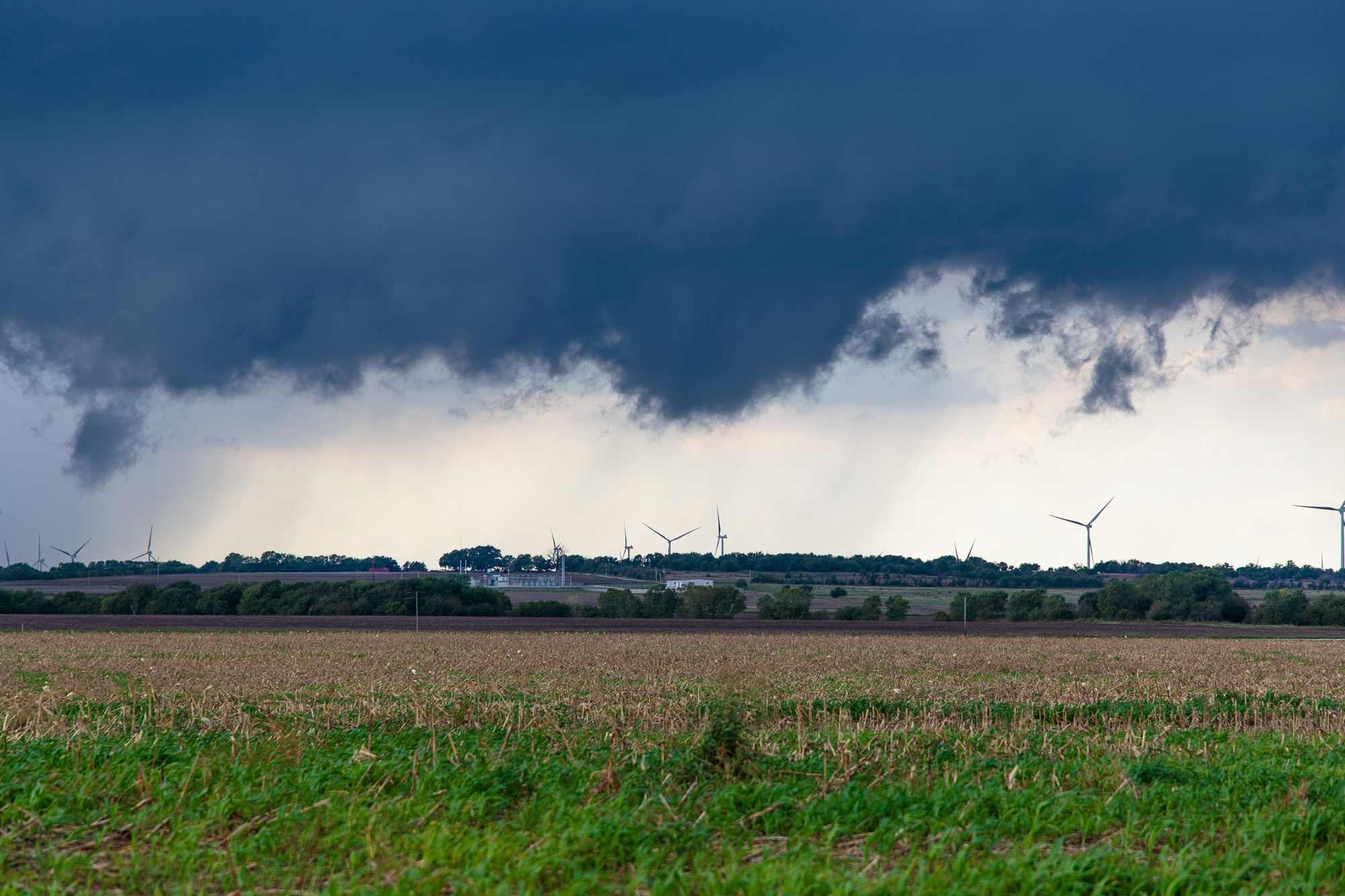
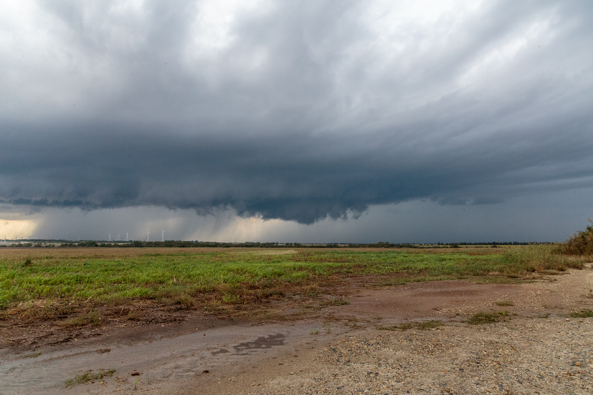
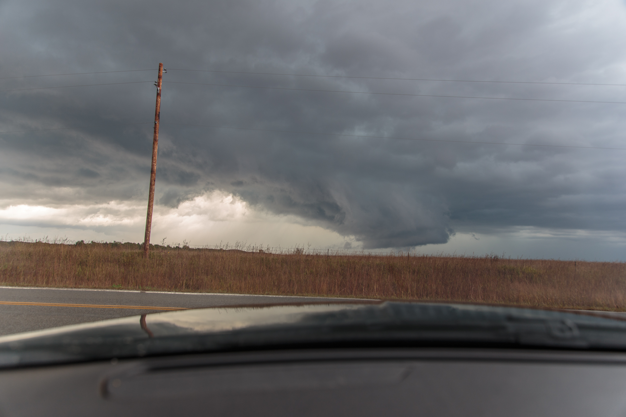
That storm had a nice wall cloud, and we’d follow it from near Geuda Springs to near Winfield and east towards Grenola. It wrapped up very nicely just west of Winfield and almost produced a tornado, but seemed to have trouble becoming rooted to the surface.
We were on back roads, and ended up on a dirt road west of Winfield where we almost got stuck. I was able to get us out with the help of Jason, but he had to sacrifice a flip flop to the mud, so Jason was barefoot the rest of the day.
Eventually we gave up on the storms and looked at all the tornado pictures from the storms elsewhere in Kansas. A bust, and a bummer.
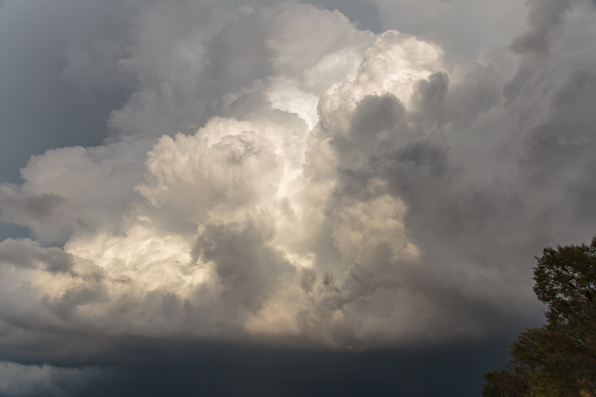
We headed back towards Oklahoma, stopping to take some sunset pictures with the shelf cloud.


