Storm Chase Details
Miles Logged: 639
States Chased: TX
Largest Hail Encountered: 1.00 in.
Severe Risks: SPC Outlooks
Severe Reports: Storm Reports
A decent looking day. The only concern was with moisture. I departed Norman around 1pm and headed west on I-40. The first storm fired while I was still in western Oklahoma.
I was worried it would organize faster, and we’d be too late. Turns out we put ourselves into a great position to get to Amarillo in time to attack the north storm, which was clearly dominant and showing supercell characteristics at the time.
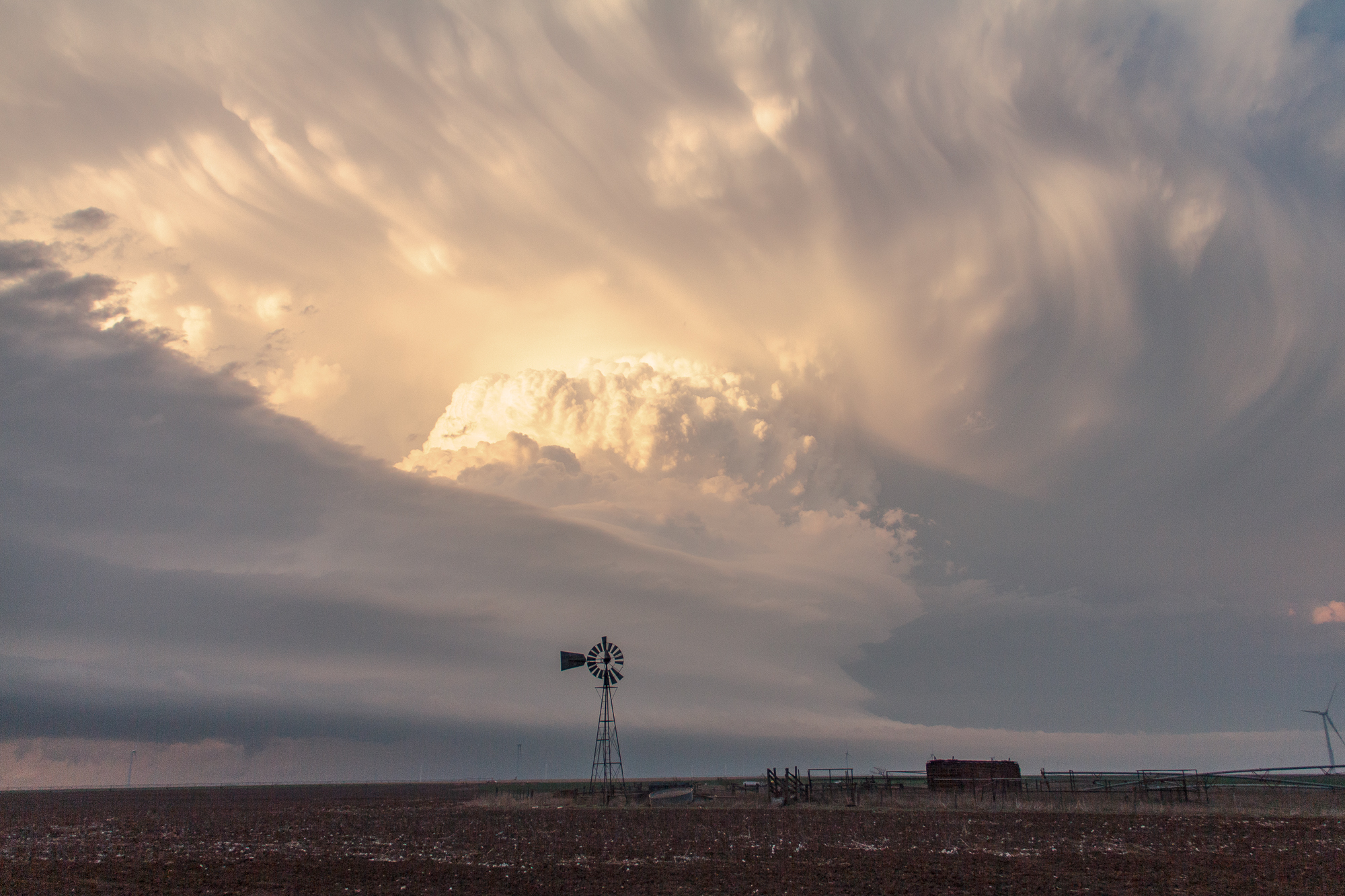
Supercell near Lake Meredith
After a quick fuel/bathroom stop in Amarillo we headed north on 287 and got to the storm just west of Lake Meredith as it was sucking in some scud which created quite the beefy wall cloud. It was hard to tell if it was rotating or not, but nonetheless Amarillo NWS issued a tornado warning on the storm.
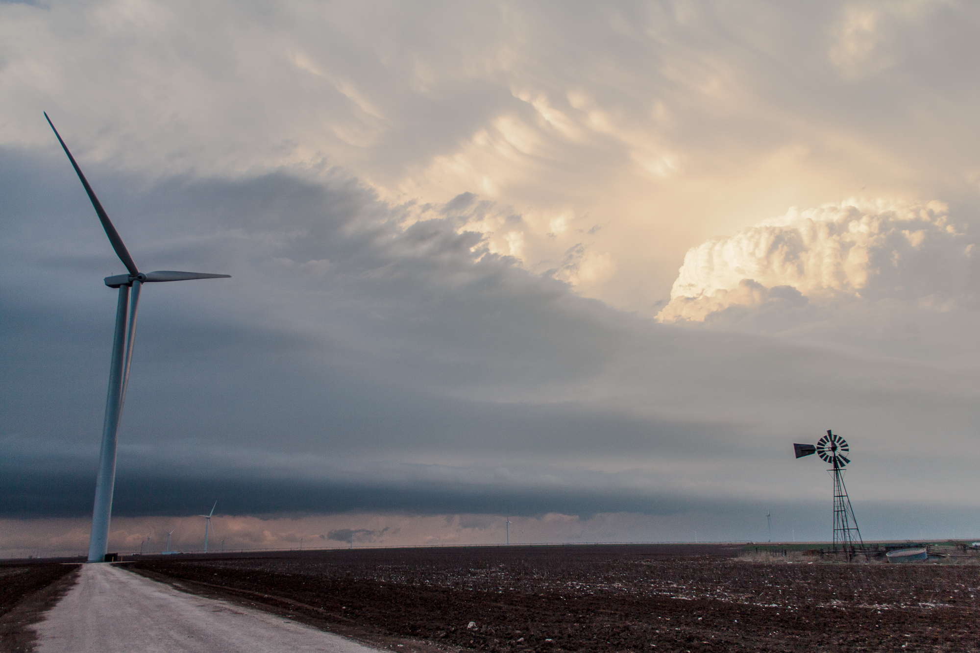
We sat and watched as the storm cycled. Eventually it seemed like the storm was outflow dominant as it seemed to have crossed the earlier outflow boundary and was pushing a lot of cold air out.
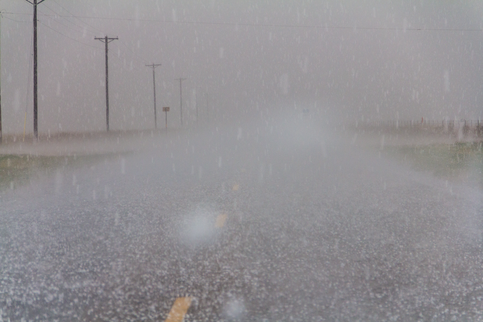
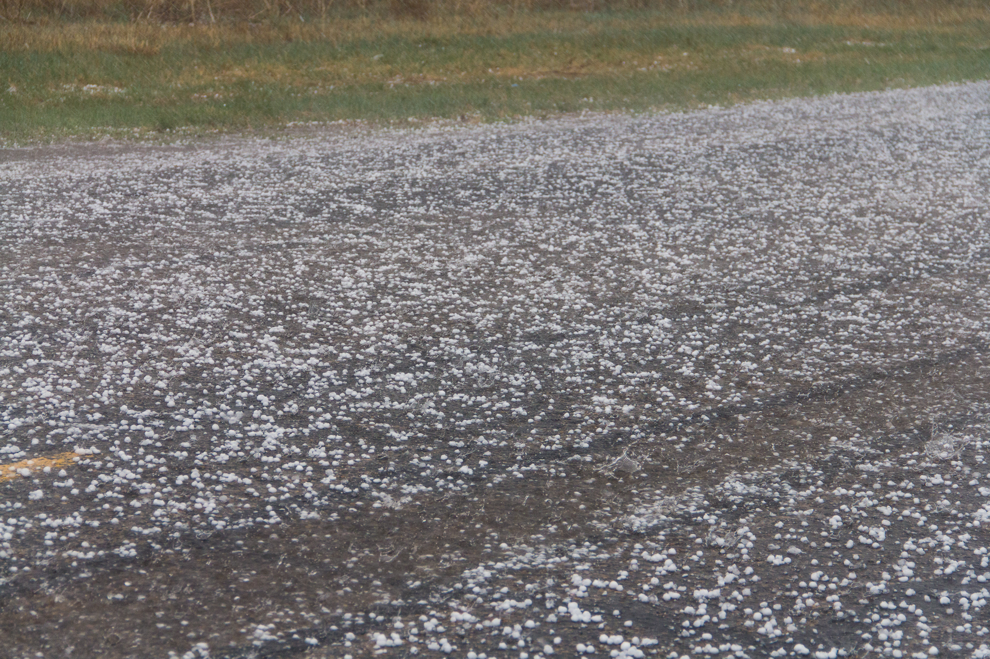
Because the road network absolutely sucks, we had to drop south to Amarillo then northeast on FM136 which put us off the storm for 30-45 minutes. We got back on the storm south of Fritch as it was ingesting another storm to it’s southeast. We saw a lot of hail and a brief funnel before following east on the crappy but better road network in that area.
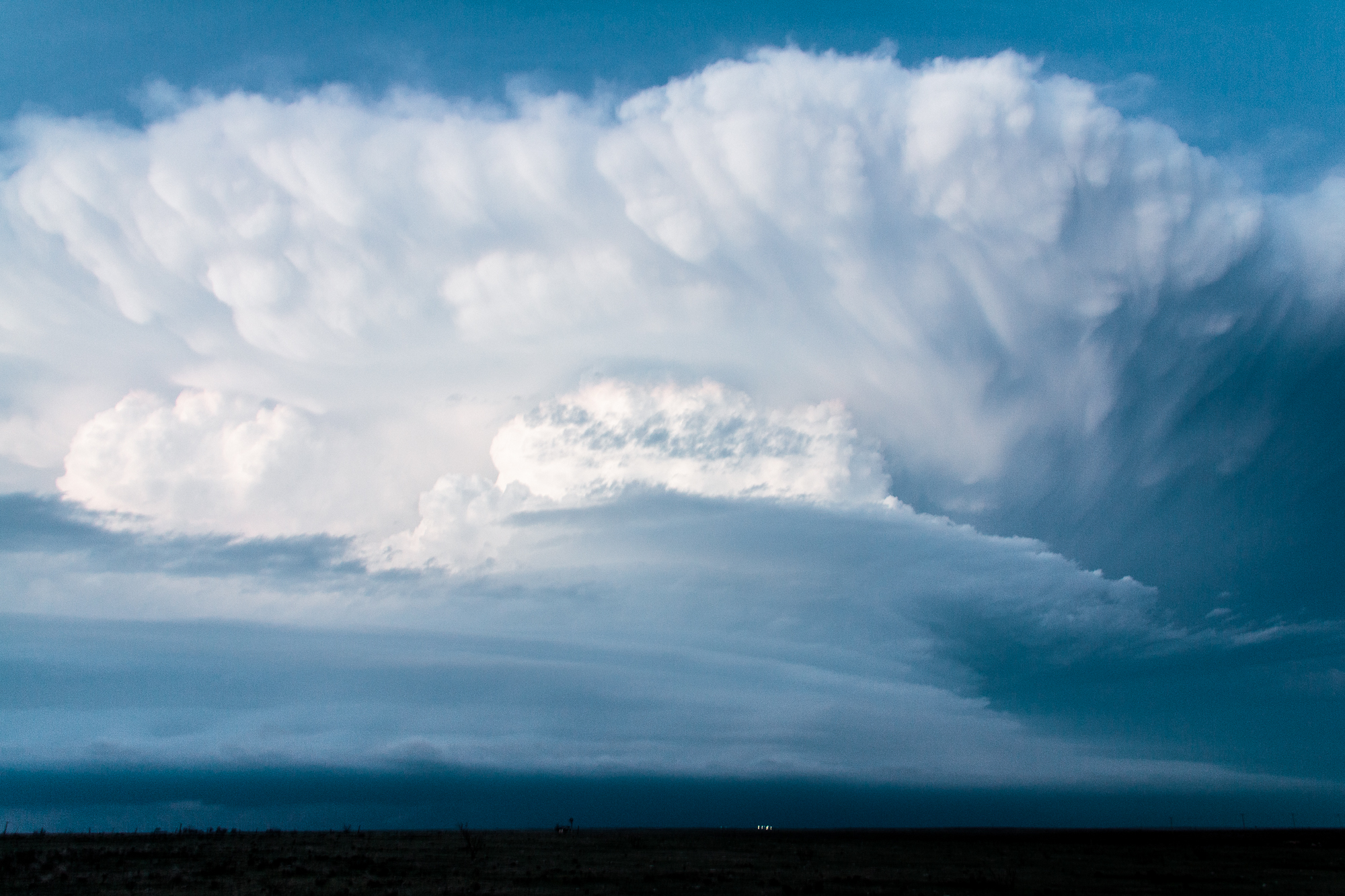
Supercell Structure Time Lapse
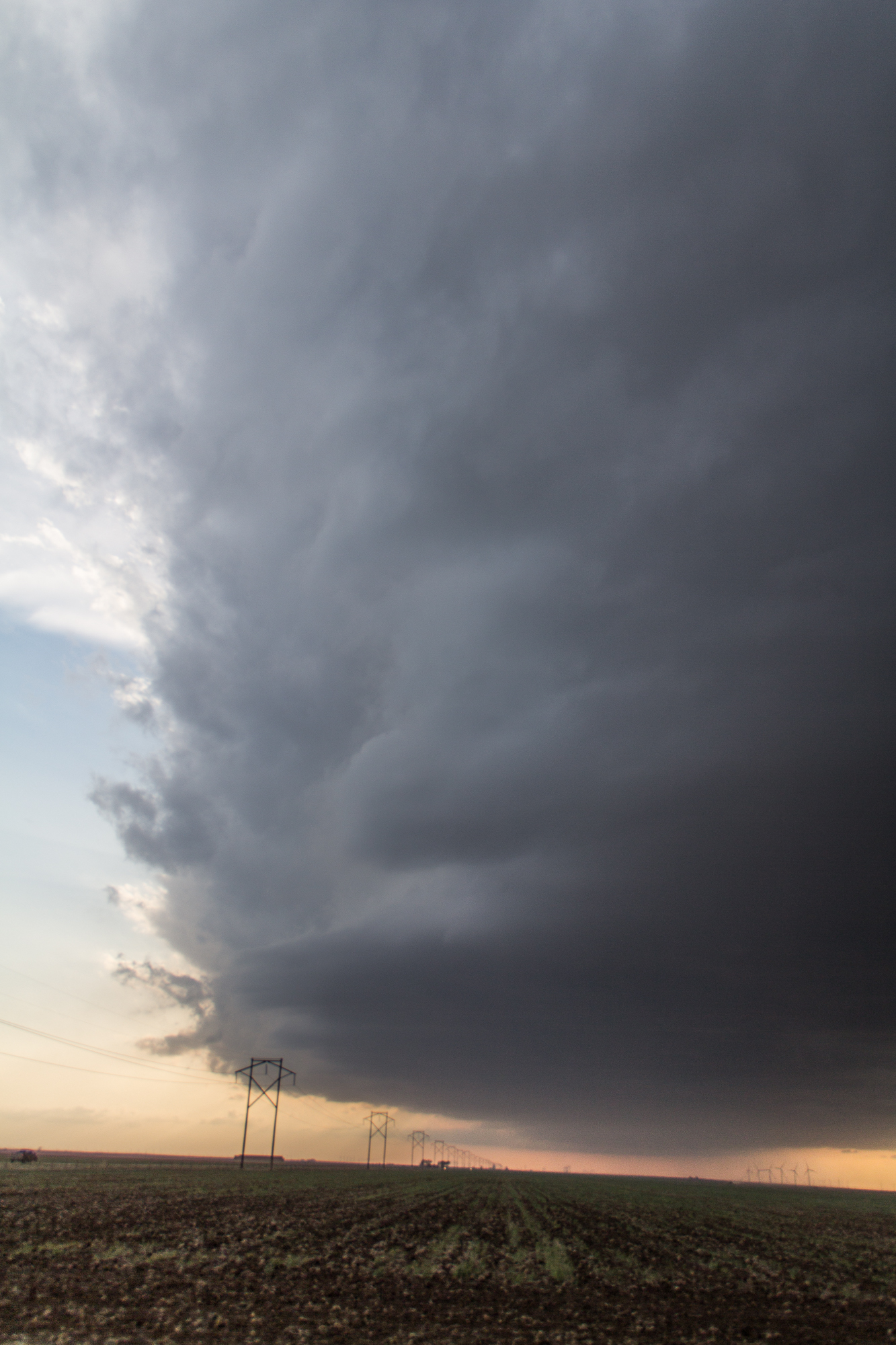
We got over to White Deer and got into golf balls or possibly larger hail and then even had another rotating wall cloud inside the core. Unfortunately it was obvious the storm seemed to be pulsing down and would just continue to be an ice producer, so we decided to drop south to I-40 and get some structure shots before heading home.