Storm Chase Details
Miles Logged: 714
States Chased: OK, TX, KS
Severe Risks: SPC Outlooks
Severe Reports: Storm Reports
The outlook for even thunderstorms was pretty bleak on the 17th. My employer, WDT, was holding a company storm chase for our customers and we only had a 3 day window to show them something this year. May 17th was the last day, and the only day of the 3 that had a chance for storms.
Models were showing a shortwave ejecting over SE CO and SW KS consistently for a few days leading up to the 17th and even started showing it a little stronger with each model run. Thunderstorms appeared possible, mostly in southeast Colorado as the timing of the shortwave was in the middle to late afternoon time frame.
We managed to be on the road by 830 or so and heading westbound on I-40 out of Oklahoma City with a target of Pampa for lunch and Boise City after.
We managed to get to Pampa by lunch time and enjoyed a very good steak lunch before heading northbound out of Pampa towards storms which ended up firing a little further east than expected.

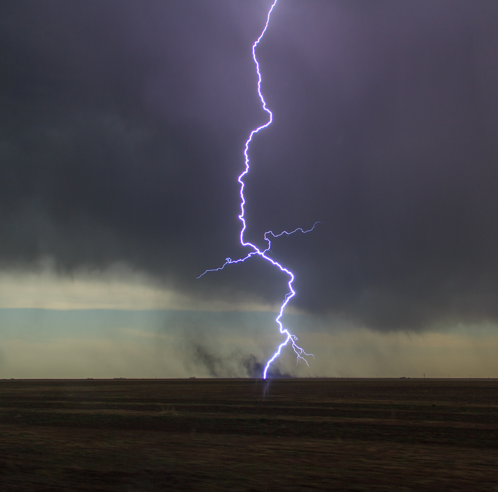
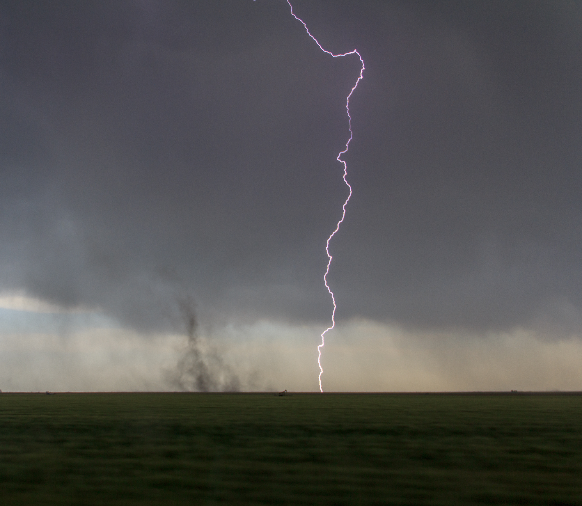
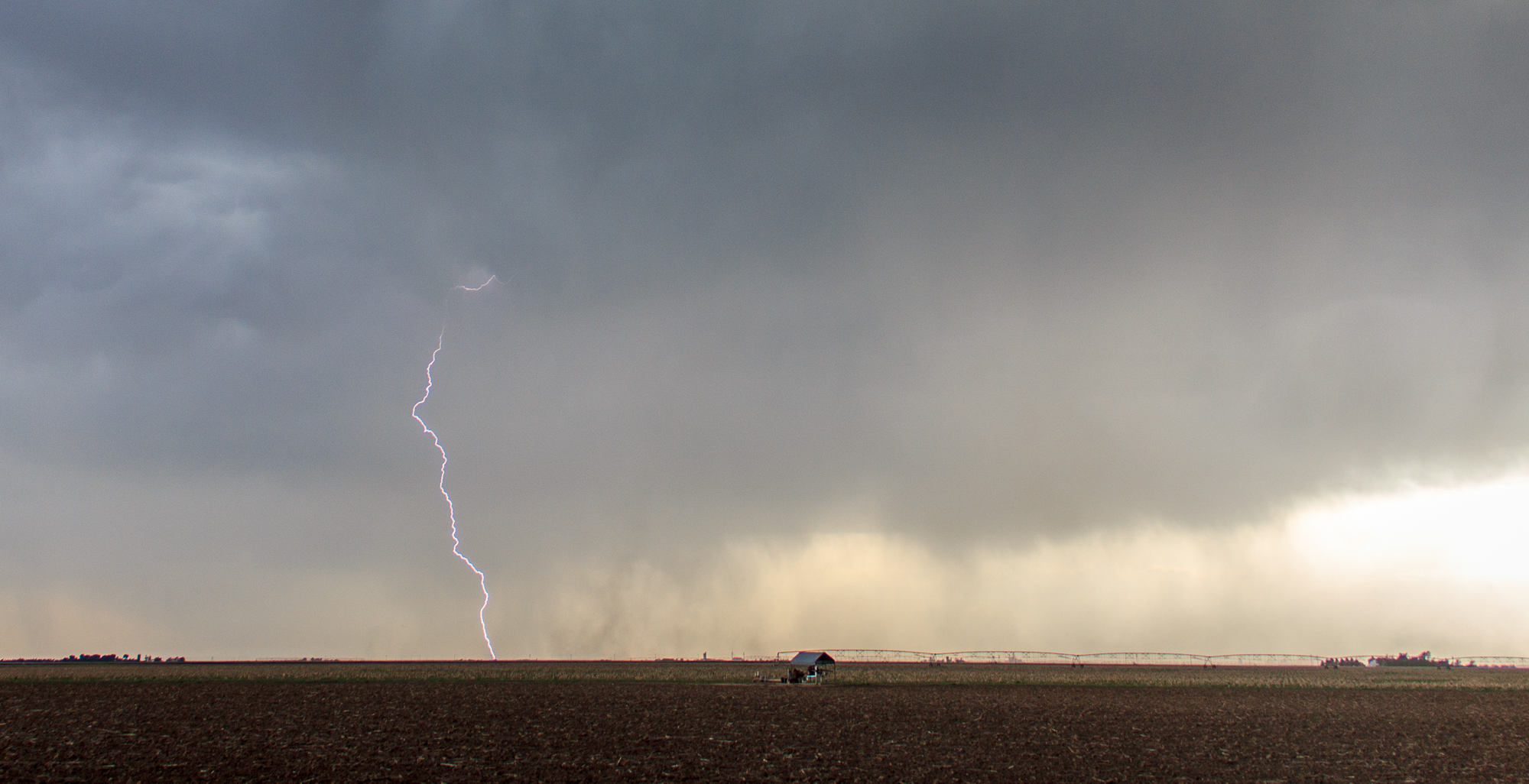
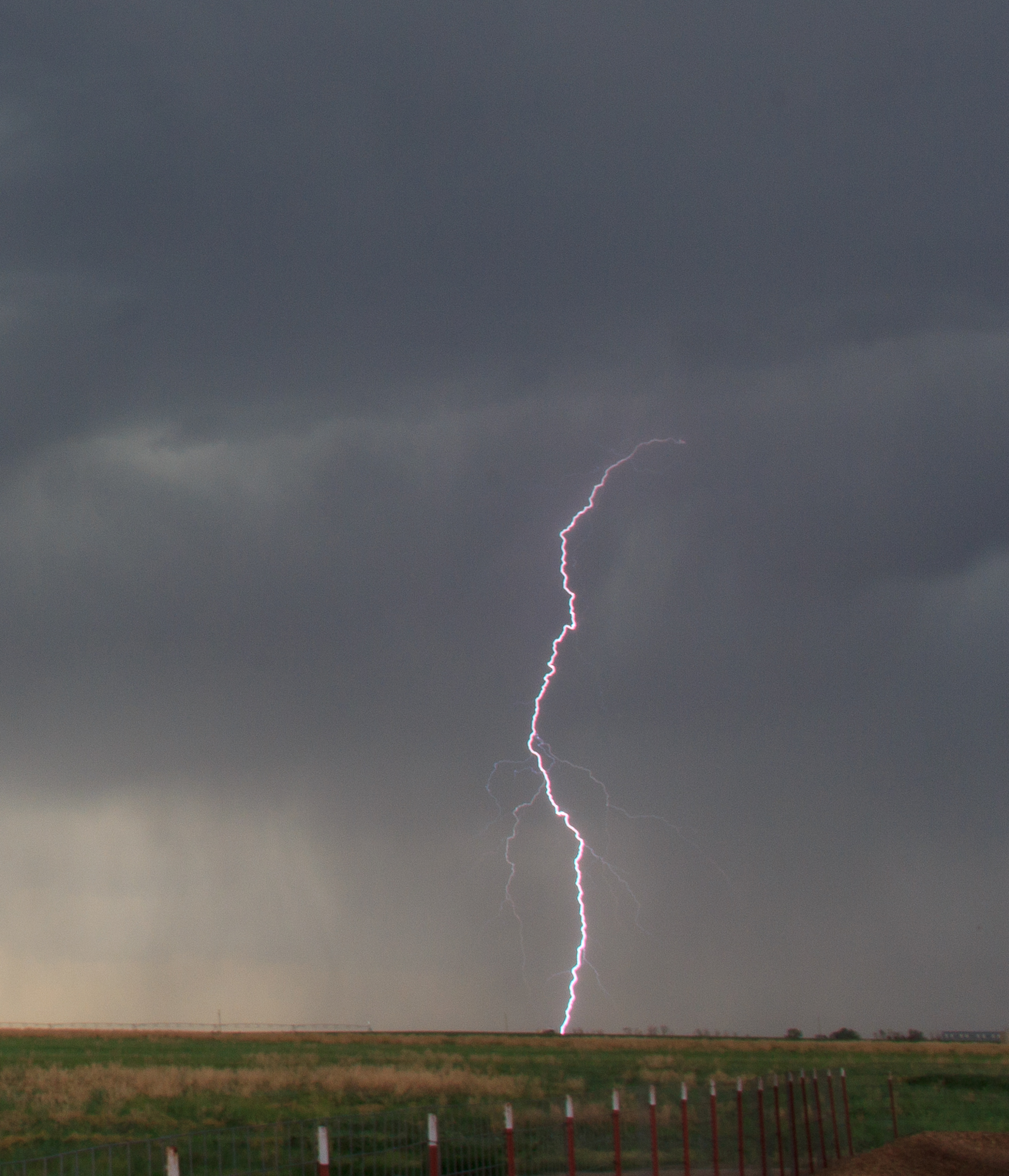
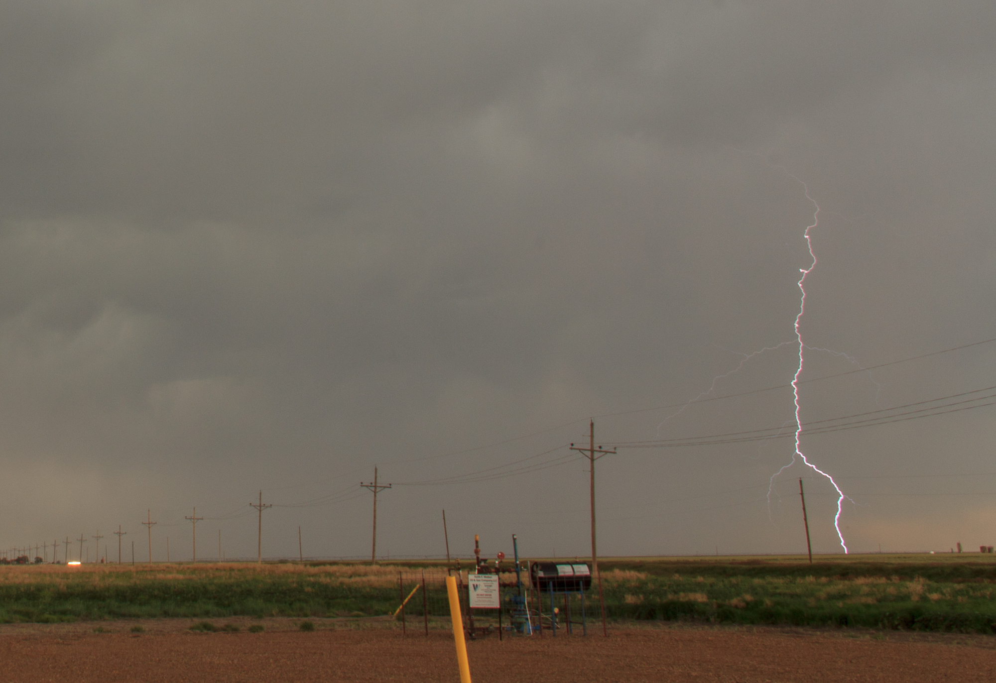
We topped all the tanks off in Guymon then headed into SW Kansas near Hugoton and Ulysses where we came upon a line of elevated storms. For me, they weren’t very impressive but for our guests they were pretty cool with many gustnadoes and just outflow winds blowing dust into the air. The cloud to ground lightning bolts were pretty spectacular, as it became a chase for lightning photos for me.
We continued following these storms to near Liberal when they started to lose intensity and we decided to head back to Norman. Many of the guests had early flights the next day so we didn’t want to stay out too late.
All in all, we took a very low probability storm day and turned it into a decent chase and a memorable chase.


