Storm Chase Details
Miles Logged: 444
States Chased: MI, OH
Highest Wind Encountered: 70 MPH
Spotter Network Reports: 2
Severe Risks: SPC Outlooks
Severe Reports: Storm Reports
I had been eyeing Friday the 7th for quite a few days in advance as it looked like finally a good chase opportunity near to home (within 250 miles). The Storm Prediction Center had outlooked the area in a Moderate Risk, with a 45% wind risk and 10% tornado risk. I woke up with clearing down in southern Indiana and Illinois and 60+ dewpoints along the Ohio River with southerly winds to drive that moisture north.
I met up with Aric and Cort, both CMU (Central Michigan University) meteorology students and departed from Lansing around noon. We headed to Toledo first, as my morning forecast had me going somewhere around Bowling Green to Findlay, and I-75/US-23 seemed like the best way to go.
On our way down, while evaluating the current surface observations, we decided to head a little further west. We obtained a copy of the TAMDAR sounding from South Bend around that time, and really decided we needed to get west. TAMDAR, for those who do not know, is the weather instruments on planes that fly around the Great Lakes. Each landing/take off produces a temperature, dewpoint and wind profile skew-T.
As you can see, the lowest 1km of winds had some real good turning.
We headed west on I-80/90 (Ohio Turnpike) and decided to head to Bryan, OH. As is usually the case with targets, this one was based upon food – There’s a Sonic in Bryan, OH.
As we were waiting in Bryan, fellow chasers and my dad showed up. Bob, Mike, and Bill. I believe this is the first and last chaser convergence Bryan, OH will ever experience.
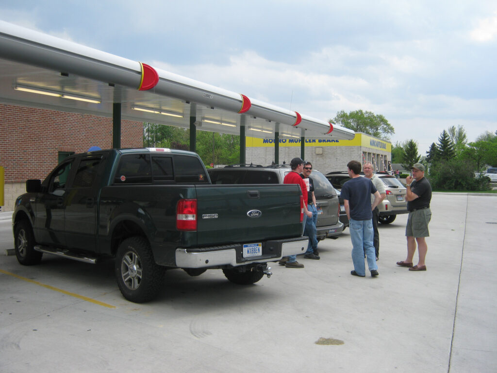
We decided to head south a little distance to US 24, where the warm front was. We ended up stopping briefly in Sherwood, OH. It was there that I came to the realization I was still using the KDTX (Detroit/Pontiac) radar and was missing the storms firing to our southwest.
Once I switched to Northern Indiana (KIWX) I was all set, and we headed south to the US 127 bridge over US 24 (which is now a freeway). This gave us a great vantage point of the storm coming at us, which wasn’t very organized.
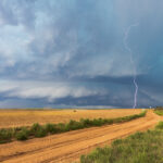
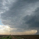
There was some decent lightning with the storm, and a disorganized wall cloud.
It was at this point we decided to bail south on the cell to it’s south west, knowing we’d never be able to keep up with the cell we were on.
We dropped south to just near Paulding, then took a road to the west. I continued on State Road 500 while the rest of them bailed into the city of Paulding. It was at this point we were cored by high winds and heavy rain with a little bit of hail as can be seen in the video above.
As we were emerging from the core, my dad said that he thought there was a tornado on the ground as they were in Paulding and heading south. It turns out the RFD from the storm was blowing up dust.
From there we headed east on SR 613. We ran back into everyone southeast of Paulding on 613 and we raced off to the east to try and keep up. We managed to mostly keep up with it, but it slowly got further and further away as the storm was moving at 70mph according to one warning text. We eventually gave up the chase around Deshler when we came upon a train stopped on the train tracks. It turns out that the train was stopped due to trees down across the tracks.
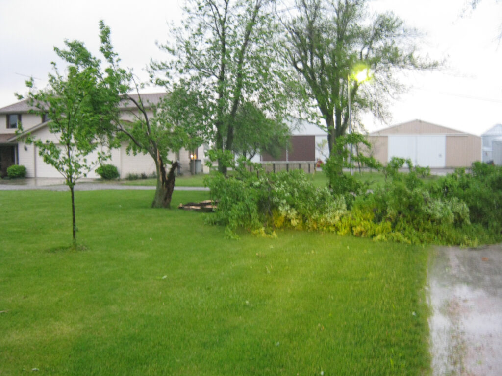
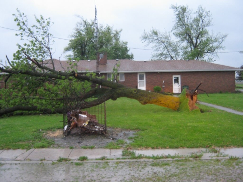
We headed back towards Paulding and west of Paulding where we shot footage of the damage, including higher voltage power poles down in a row.
After shooting video, we met up with Adam Lucio and Danny Neal in Defiance, OH where we had Pizza Hut. Got back to Lansing around 12:30-1 am, heading almost directly to bed.
