Storm Chase Details
Miles Logged: 314
States Chased: MI, IN
Spotter Network Reports: 1
Severe Risks: SPC Outlooks
Severe Reports: Storm Reports
There was a Moderate Risk of Severe Thunderstorms out for Indiana and Ohio, however, the risk of tornadoes was very low. It appeared that mostly this would be a wind/hail event day, and mostly that is what it was.
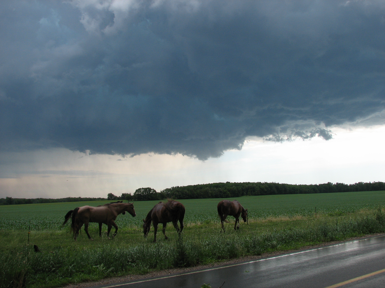
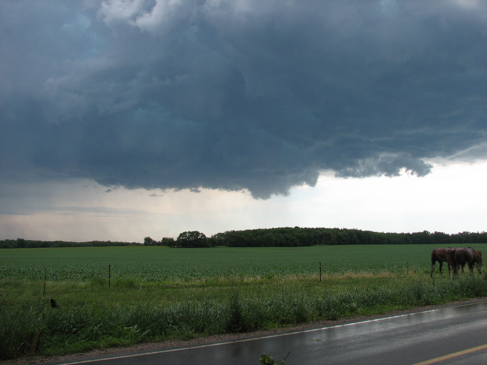
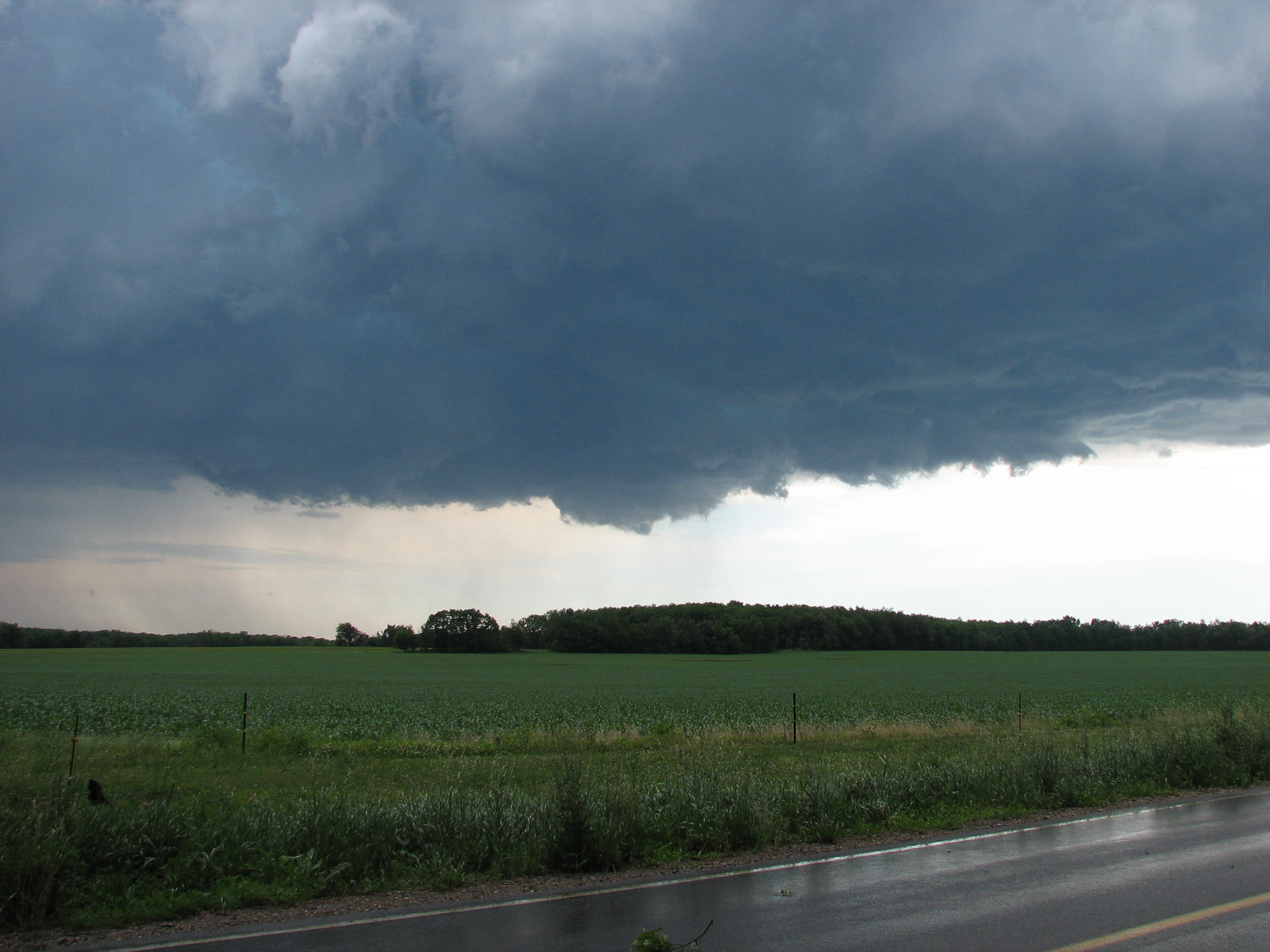
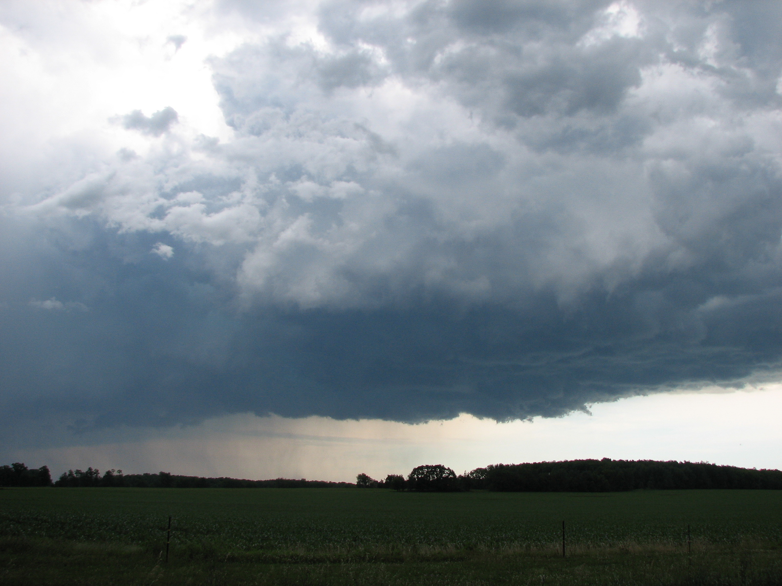
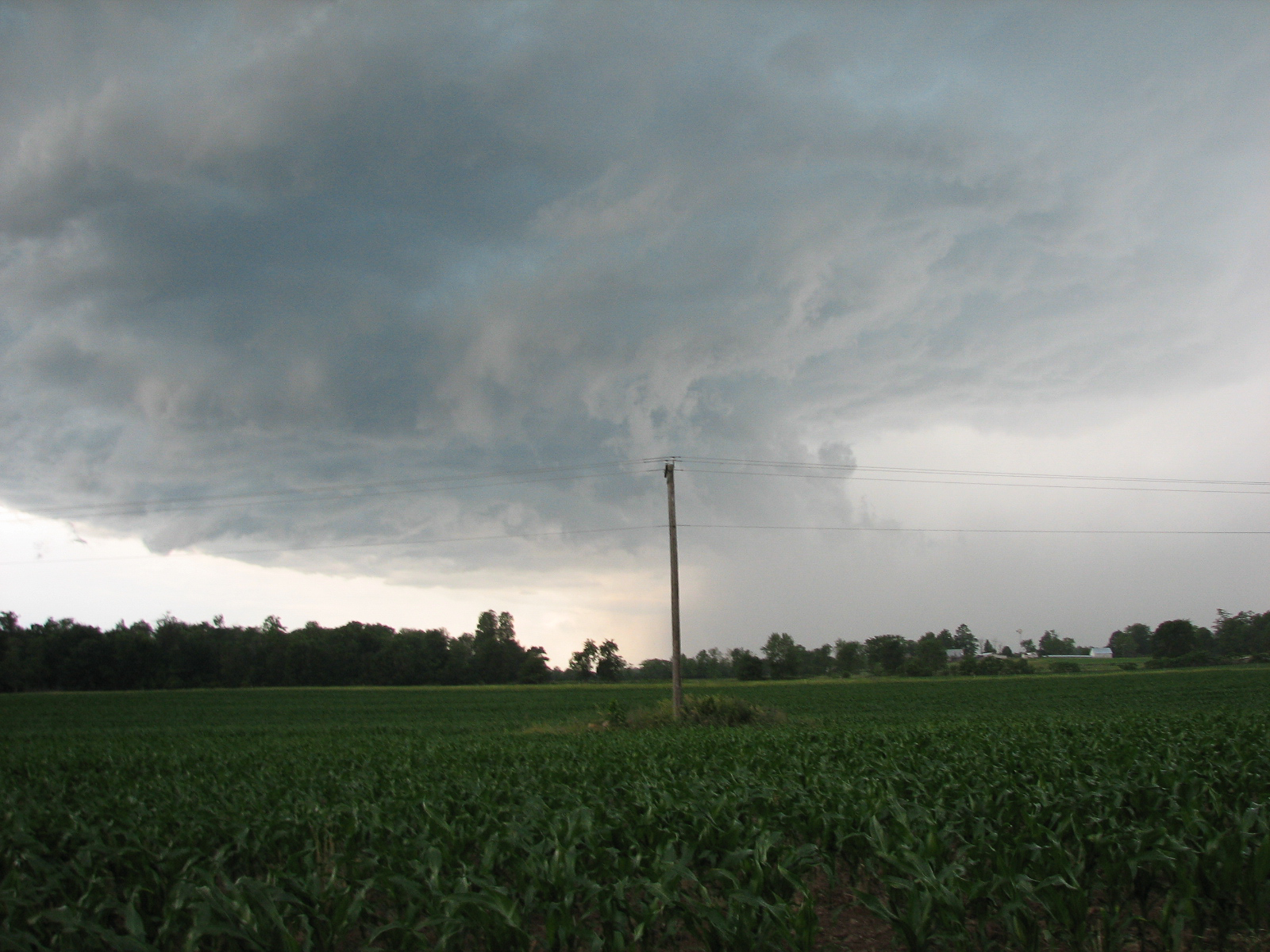
The first cell popped in Van Buren County Michigan just west of Kalamazoo, MI and headed southeast. I intercepted the cell south of Battle Creek and then followed it into Branch County where I observed a beautiful mesocyclone. The storm ended up dropping a funnel cloud and I really thought I might get to see a brief tornado touchdown, but alas, it was not to be. The National Weather Service in Northern Indiana was watching my cam the whole time, and I am surprised they didn’t go Tornado Warned on that cell. I guess the live cameras give instant ground truth.
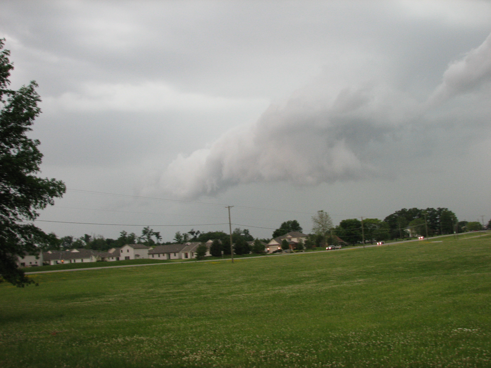
I followed the cell further into Southern Michigan and then headed south into Indiana to catch another supercell heading away from the North Webster radar site. By the time I caught up to it, the storm had pretty much become linear and I waited for the line to hit me before meeting up with Johnathan Brouwer for dinner at Texas Roadhouse.
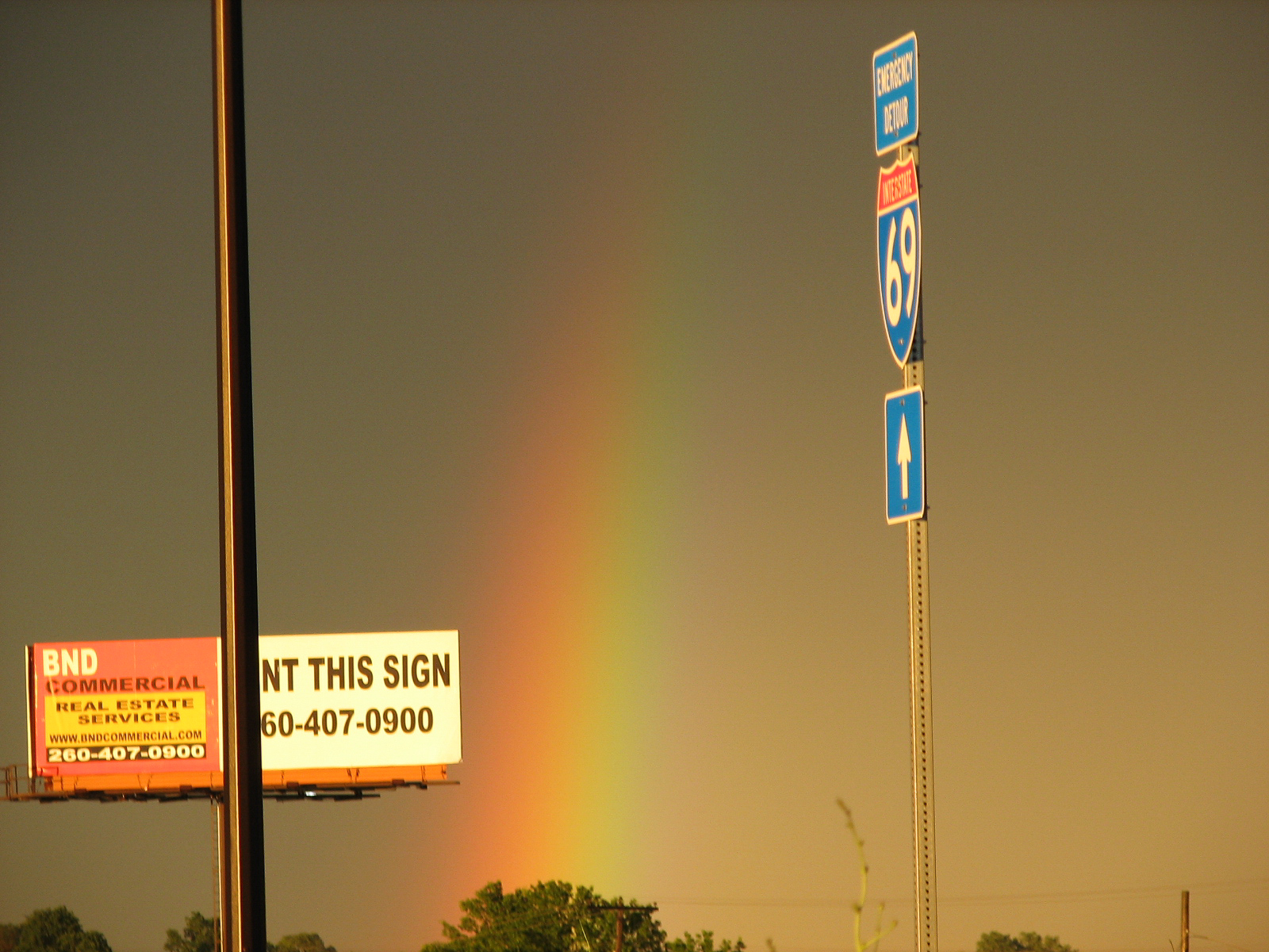
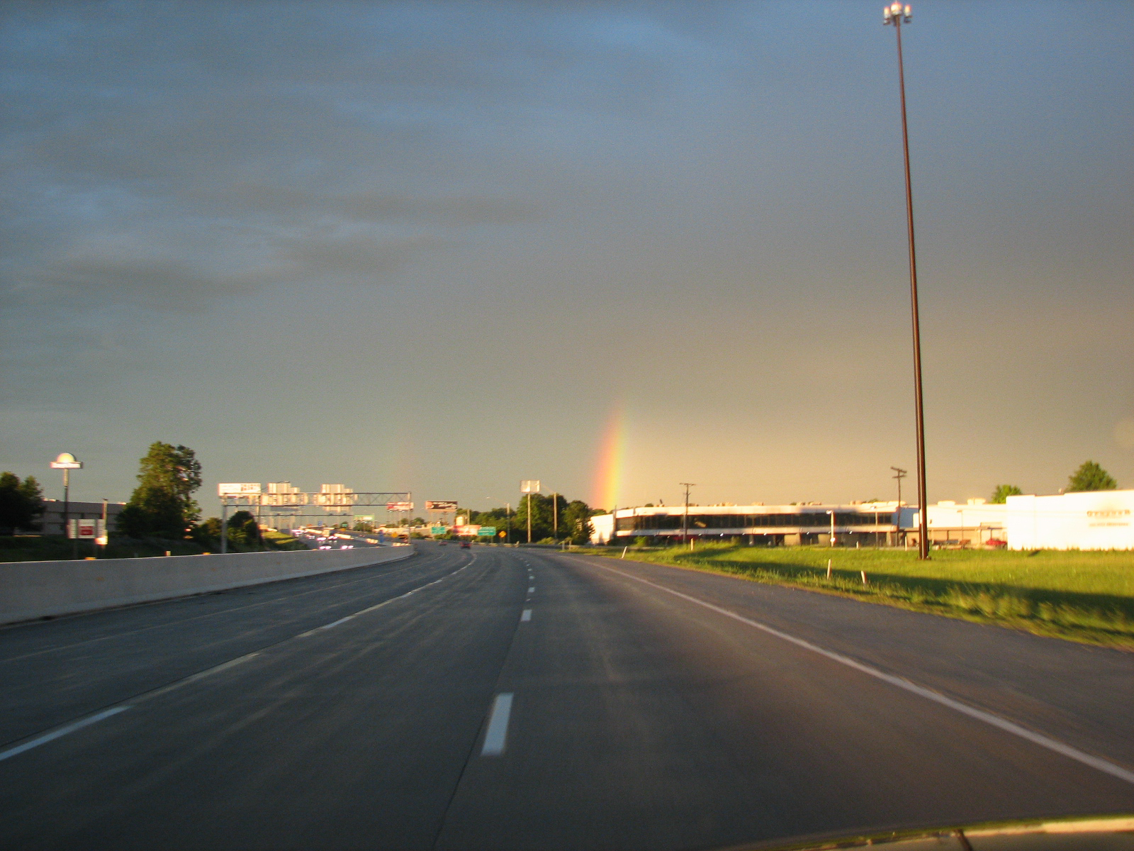
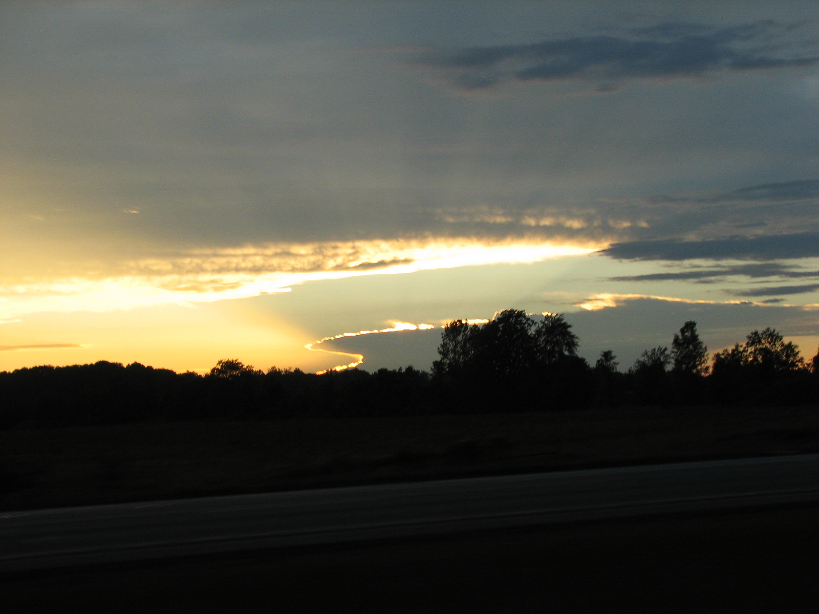
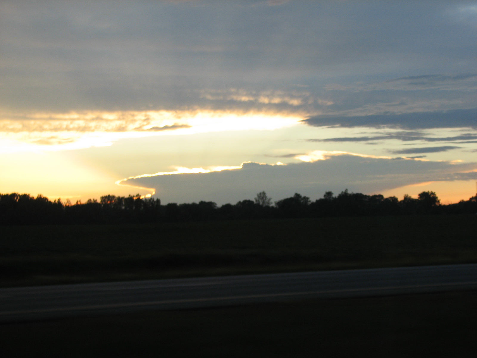
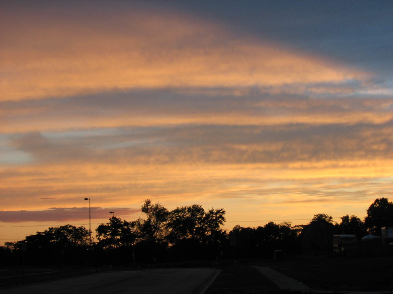
On the way home I saw some spectacular cloud formations including an Anvil over Lake Michigan with the sun setting behind it, and a couple Rainbows.


